Nature area with sand dunes, heather, forest and beach – March 2018
Summary
This hike goes through one of my favorite nature areas in the Netherlands, the Schoorlse Duinen. This area is quite extensive and has a lot of variety. It combines sand dunes, which are the highest of the Netherlands, with forest, beach and open heather grounds. The nice village of Bergen lies on the route and is a good place for a lunch stop or a drink on a terrace. Overall we enjoyed this hike very much in the beginning of springtime and we think it is even better in summertime.
Description trail
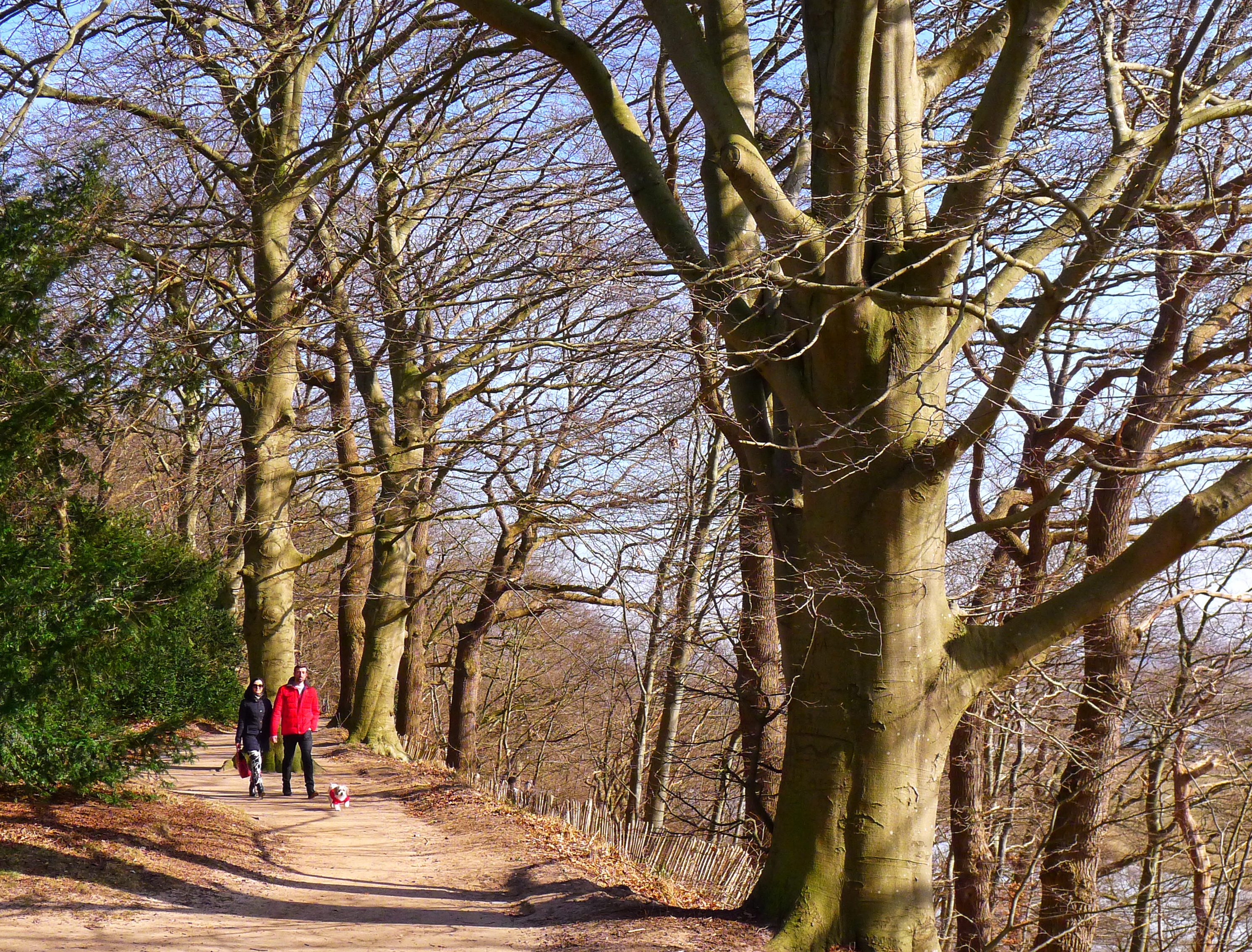
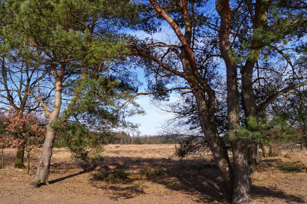
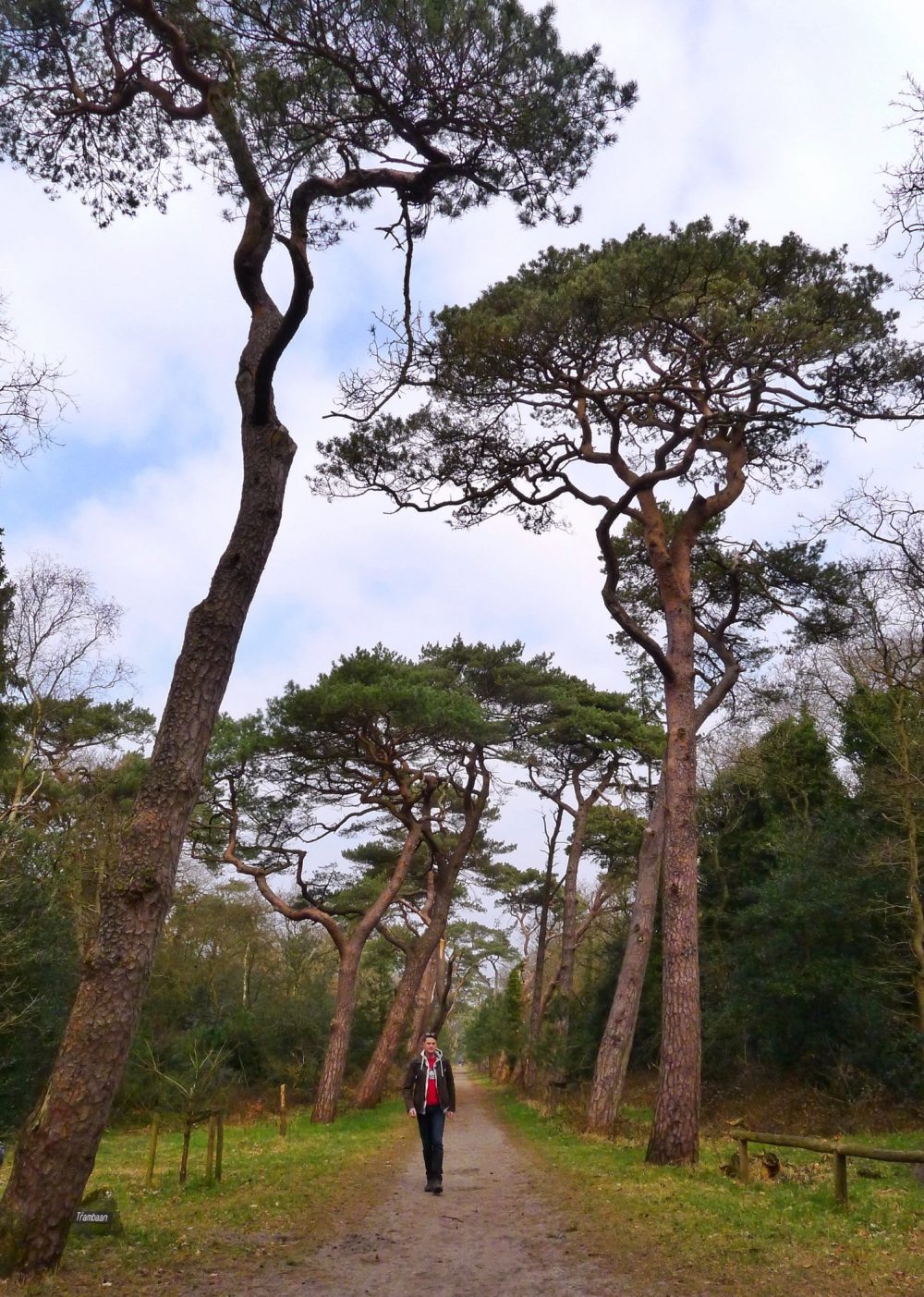
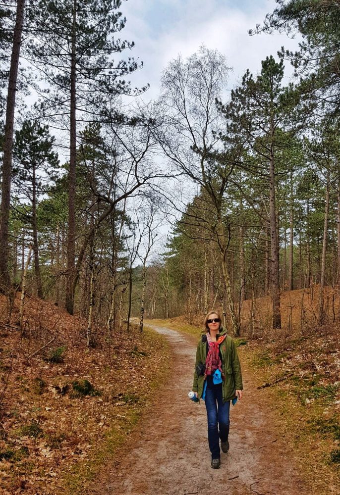
The hike starts in or close to Bergen, depending on where you park your car or which bus you choose (see general/ details for how to get there). We started just outside the village of Bergen and therefore added the Sparrenlaan to this hike. Originally this is not part of the Groene Wissel hike but definitely worth to go through it. The old Scots pines have become interesting shapes which make this lane very photogenic.
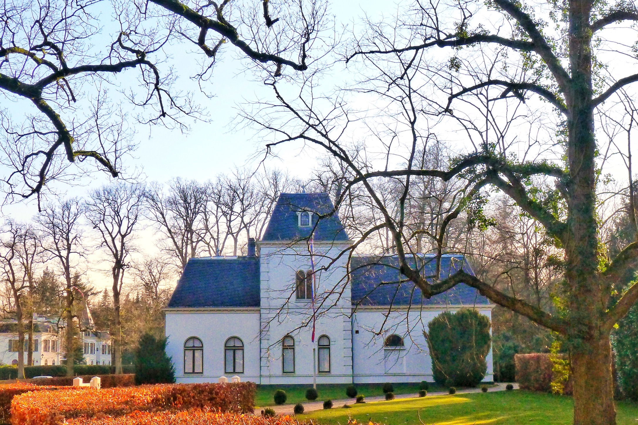
A bit further you enter Bergen, nowadays a touristic spot and often the starting point of hike or bike tours through nature. It is also known for the hub of artists, from painters to writers of poetry. Bergen is claimed to have The Light that enables the creation of beautiful paintings.
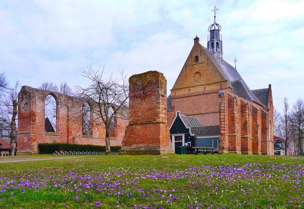
In Bergen you pass the old Ruin Church, which was initially built in the 15th century. It was burnt down during the Eighty Years’ War (1568-1648) but later on partially rebuilt.
There are a lot of nice terraces in Bergen so it might be a very good stop for a drink or lunch.
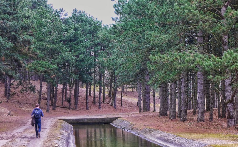
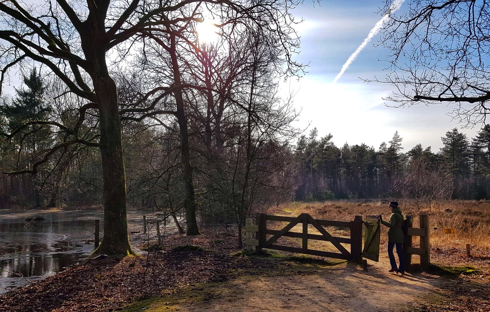
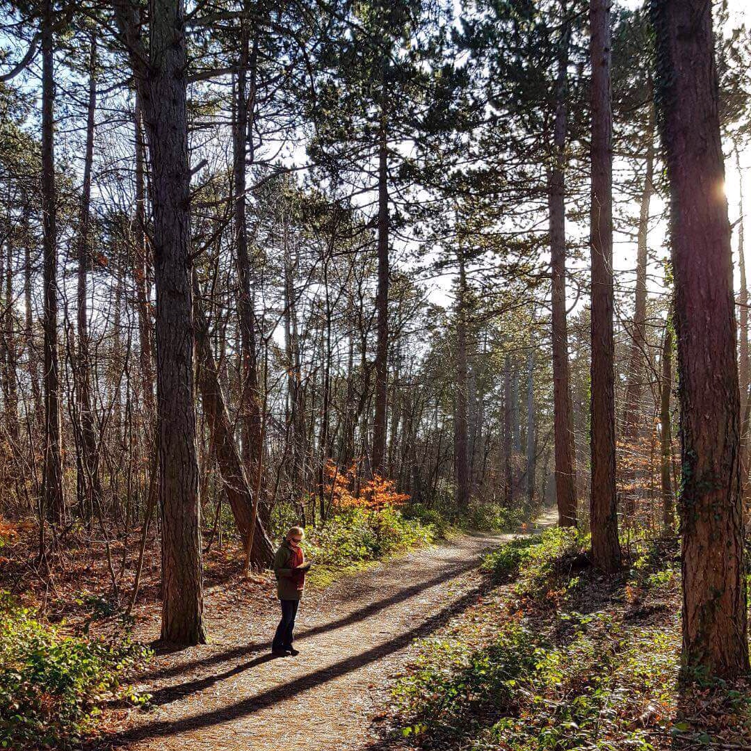
Once you leave Bergen, you enter the pine forest. This forest was planted around 100 years ago. At that time the sand dunes only consisted of very lose sand that was easily controlled by the wind. By planting pine trees and marram grass the dunes became a solid barrier and protection against the sea.
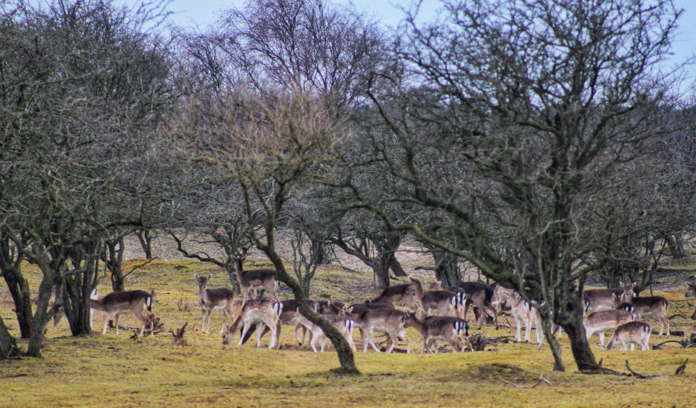
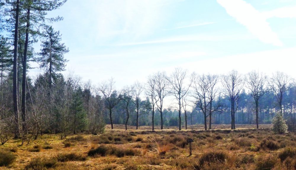
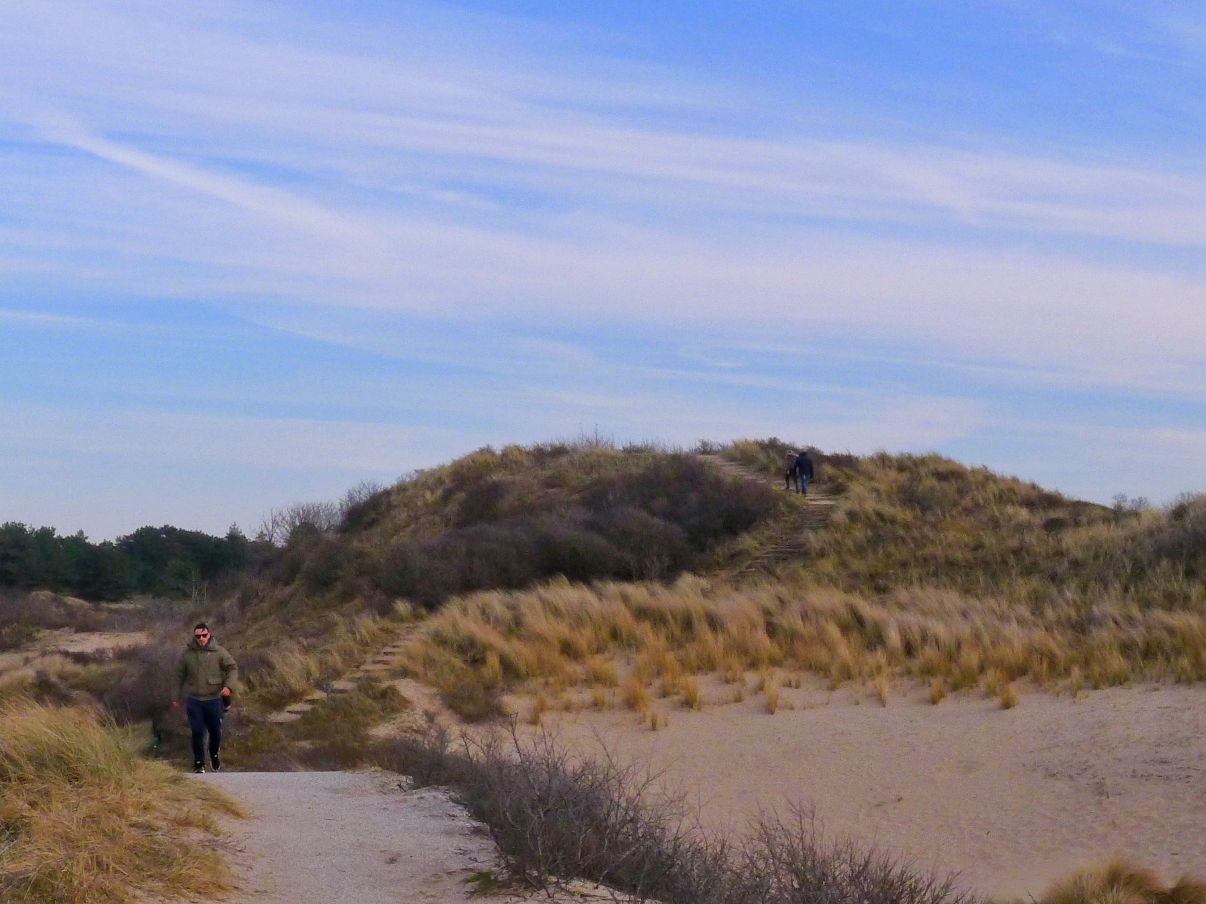
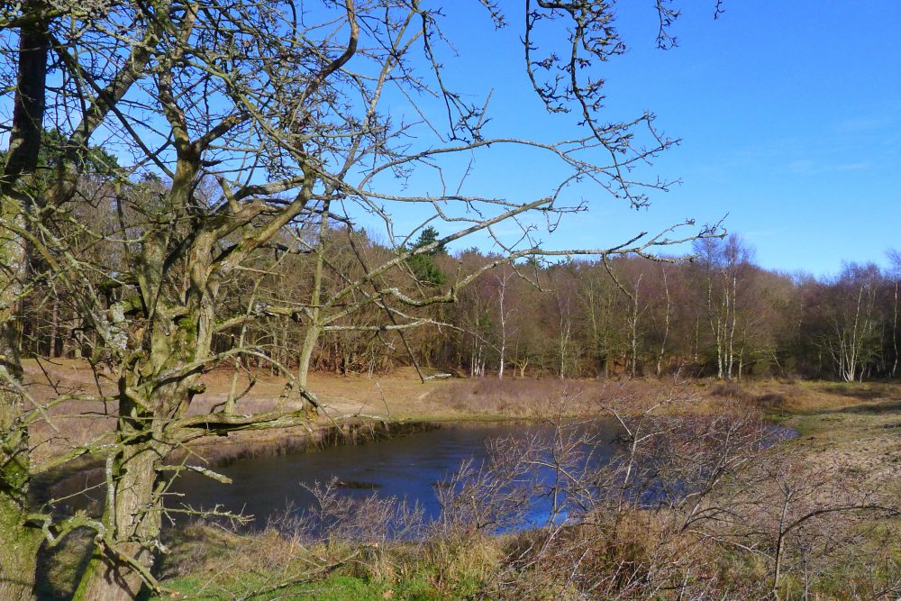
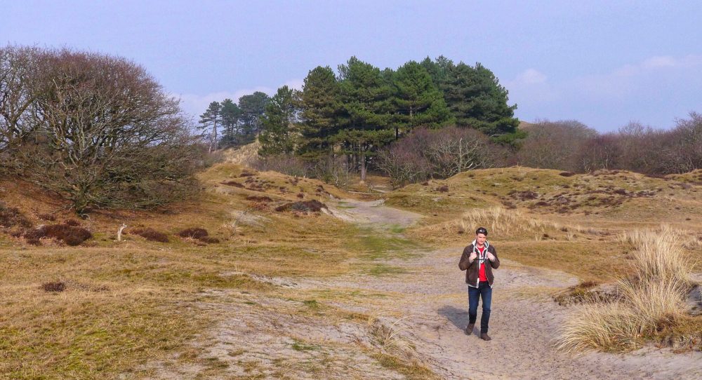
The closer you get to the sea, the more open spaces you will see, with somestimes also heather on it.
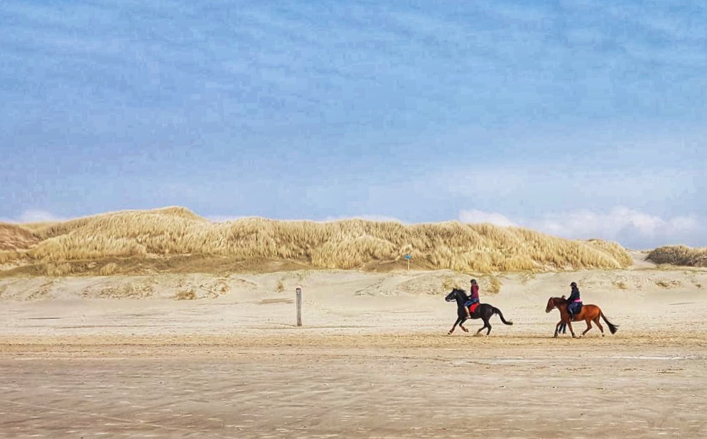
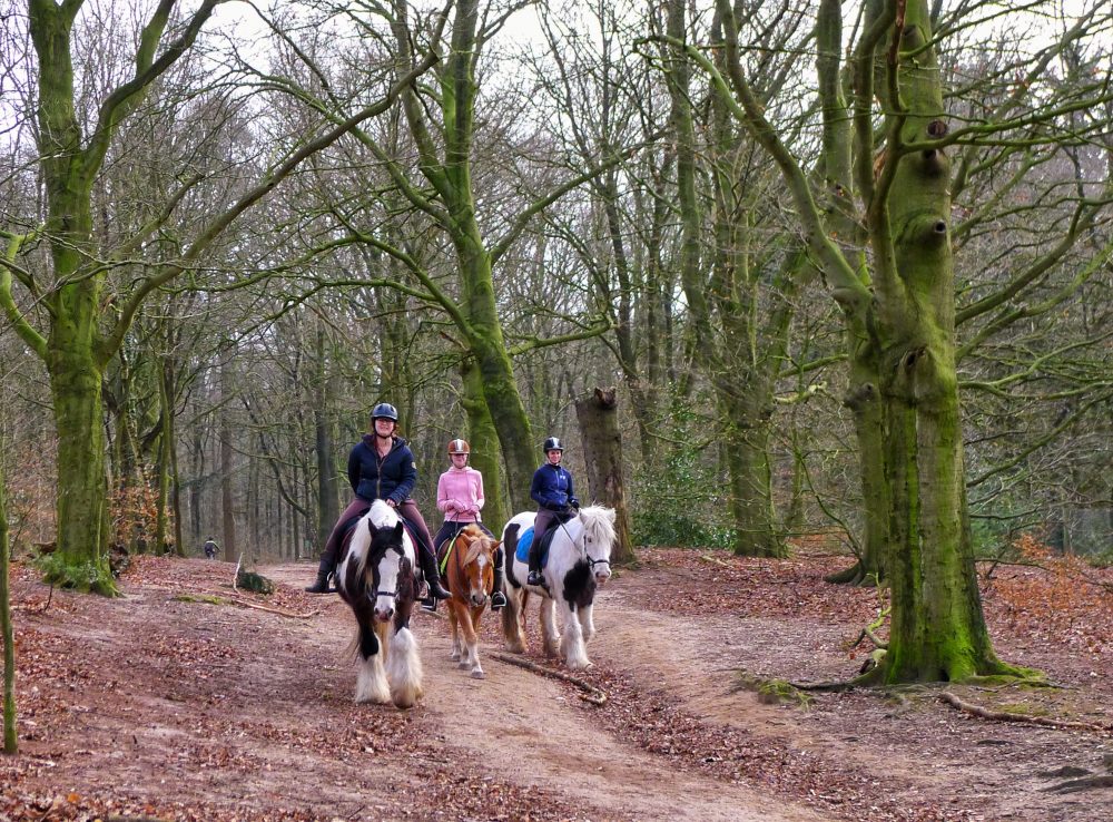
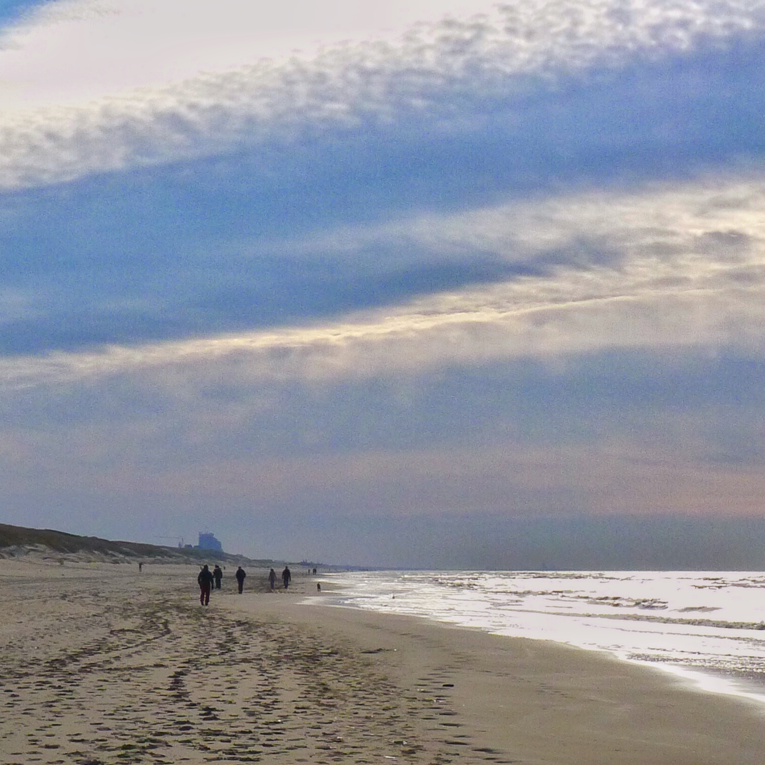
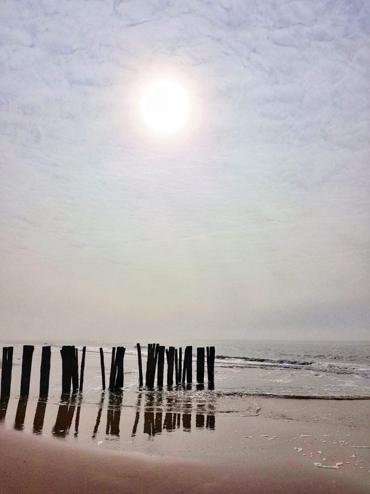
Almost halfway the trail you enter the beach on which you continue the hike for ~3,5 kms. The beach is quite wide and nice. You will see people letting their dogs but also a lot of horseriders who can go very fast in this big open space. I think this place is very photogenic and therefore a good place to take pictures.
In the summertime, or often already starting beginning of April, the beach tents are open for a drink or something to eat. We were there end of March and they were still busy rebuilding those tents for the new season.
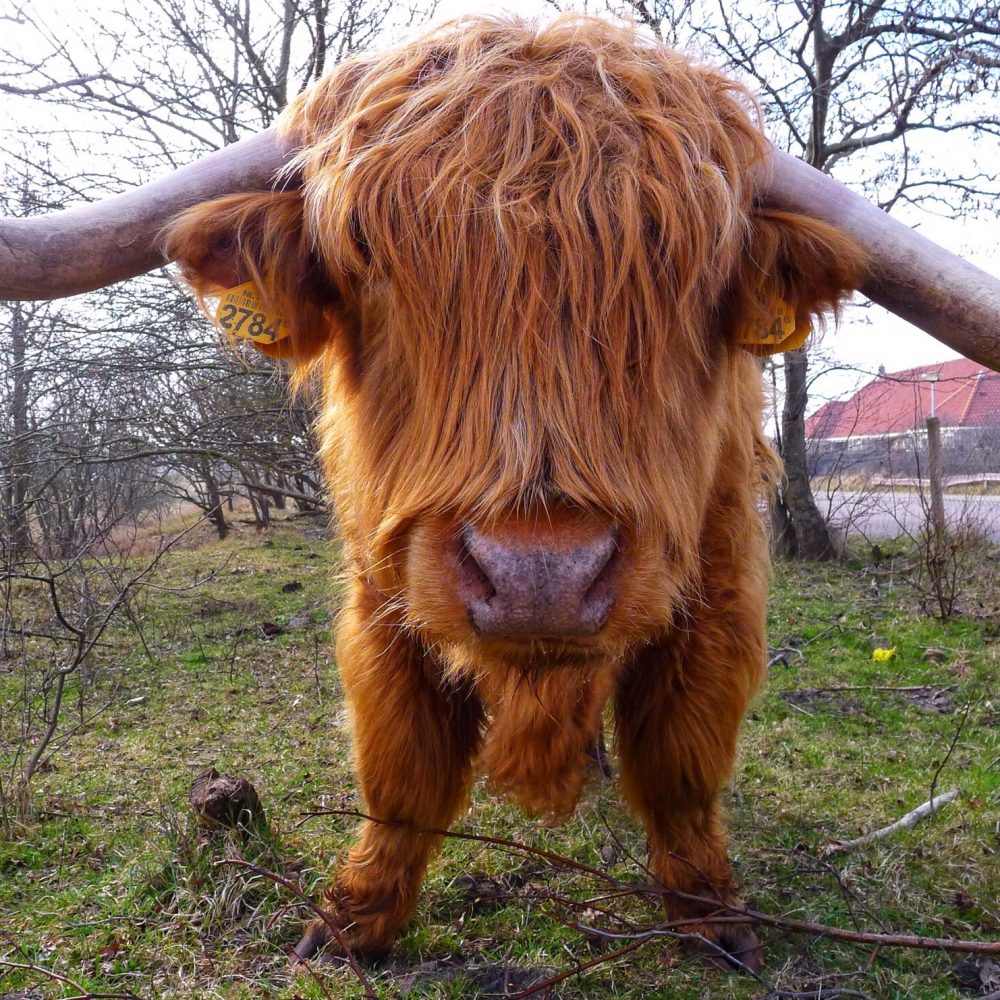
At the end of the beach the path goes back into the dunes again and you can see the village Bergen aan Zee just on the side of it. There we came across the impressive highland cow which even posed for me.
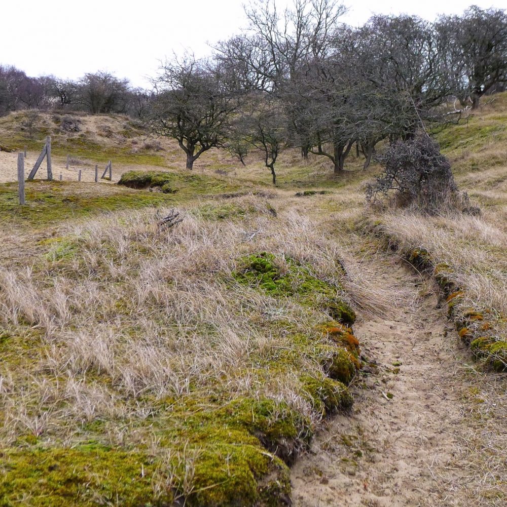
The hike then continues through the beautiful Schoorlse Duinen with its open spaces and dunes of lose sand and ends in the pine forest and back at the parking spot.
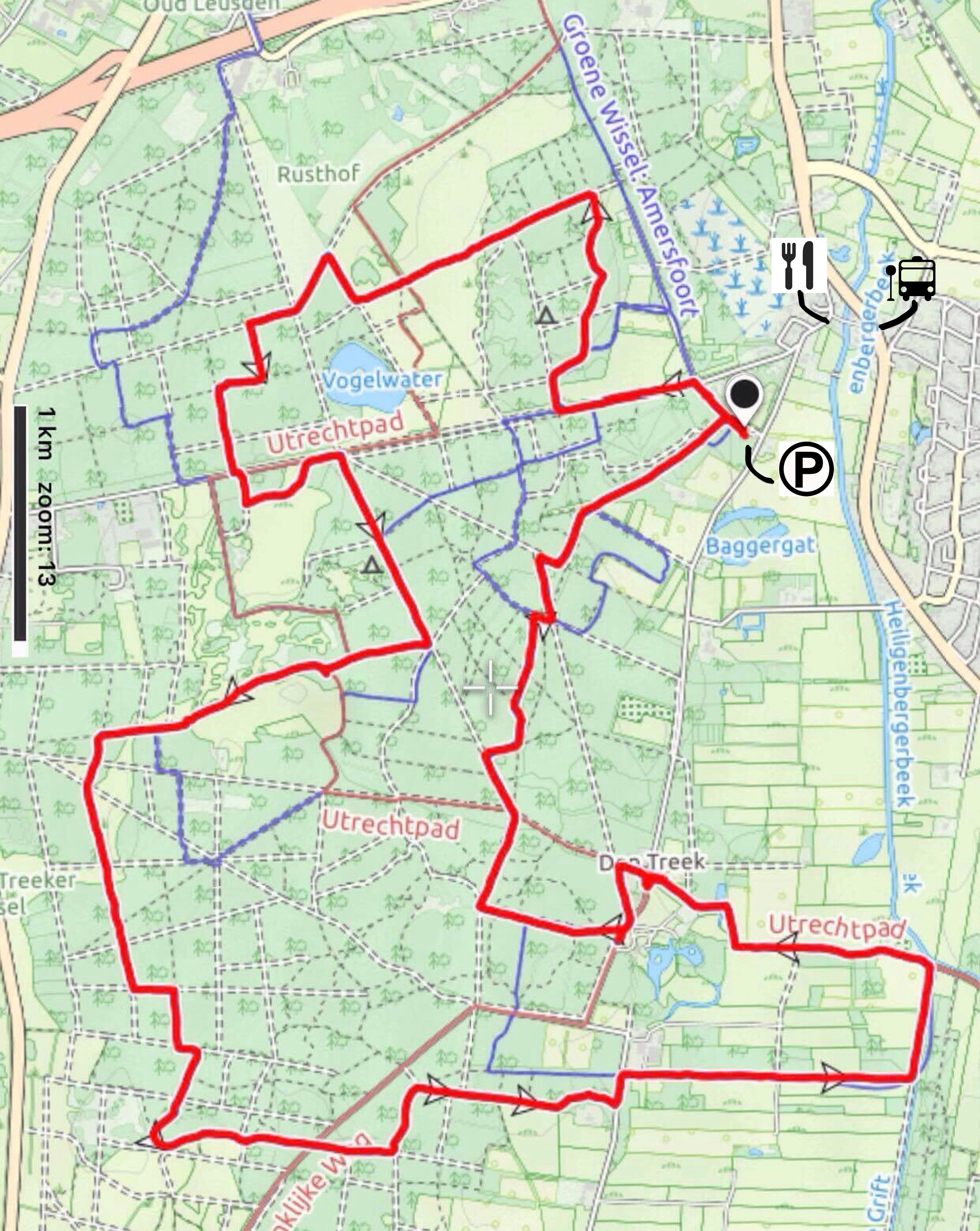
General/details:
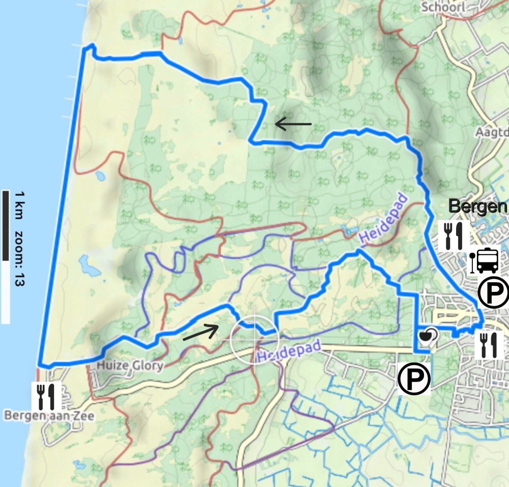
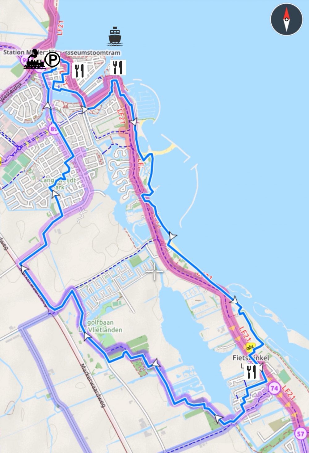
Start and Finish: Bergen center of the village
Type: circular route
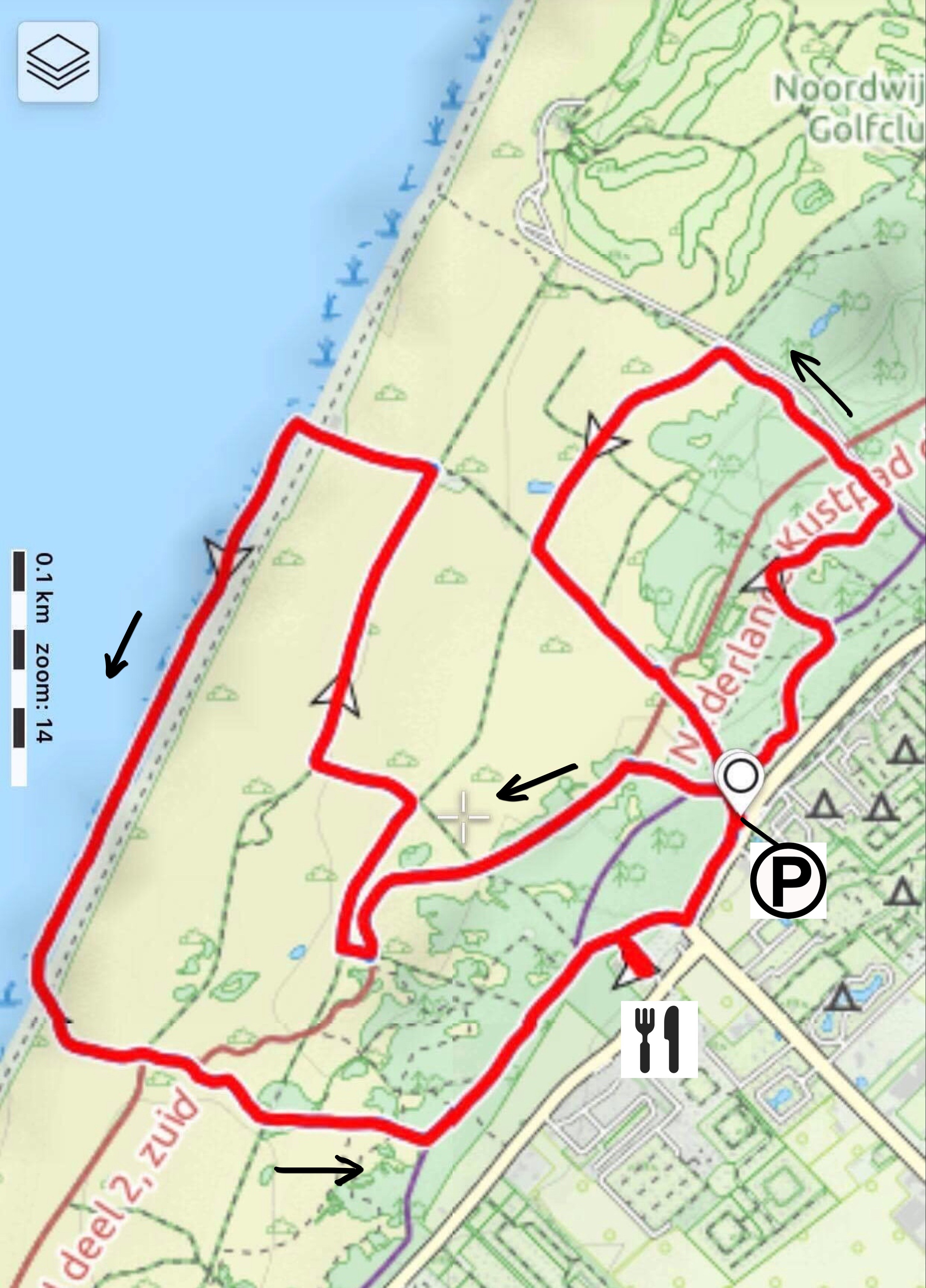
Length: 18 km
Difficulty: easy
Terrain: mostly sandpath, sometimes very lose sand, hills of 25-30 height difference.
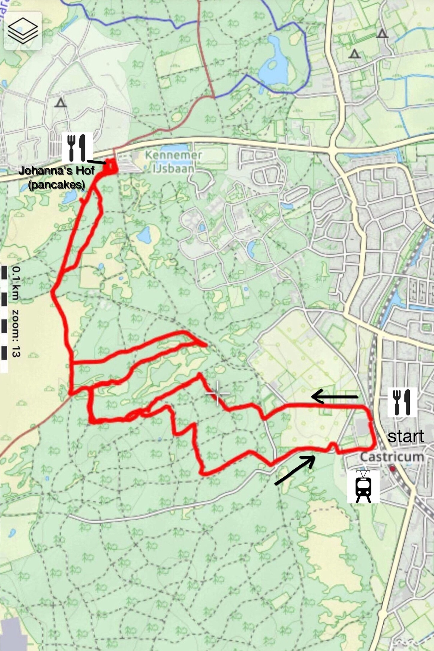
How to get there? By car: you can easily park your car in Bergen, at parking place Binenhof, but is expensive and can cost you as much as 1,90 EUR per hour. However, we found a free parking spot on the Eeuwigelaan, just outside Bergen (see map). Public transport: You can also get there by bus, several buses go to Bergen, e.g. nr 6 which comes from Alkmaar, busstop Bergen-Plein.
Restaurants underway? Yes, close to the starting/finish point in Bergen and during april-september also halfway on the beach. Alternatively, you can go slightly off track and find restaurants in Bergen aan Zee, next to the beach.