Stunning views on the beach and from the cliffs – September 2017
Summary
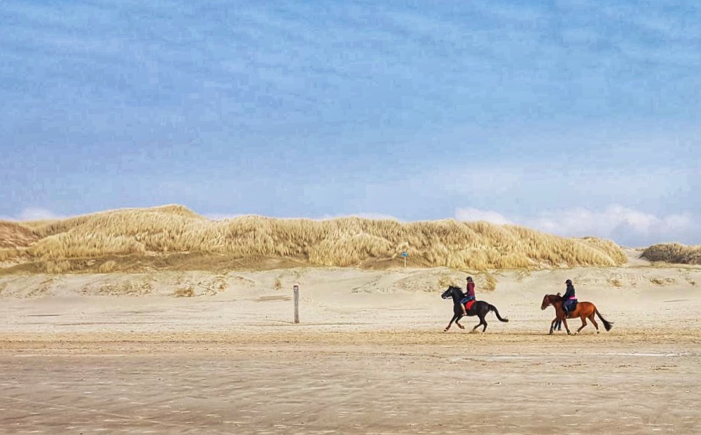
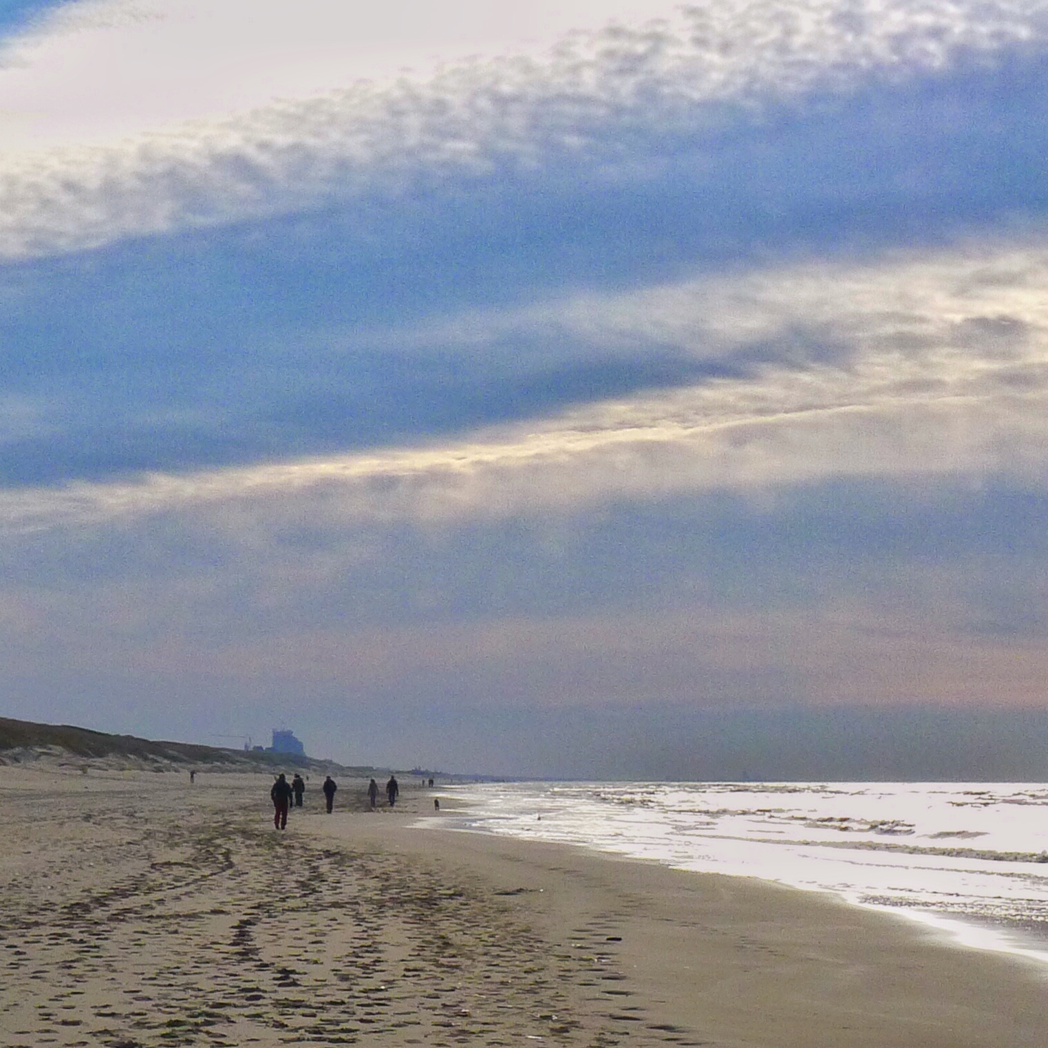
This trail goes over a beautiful beach with stunning cliffs. The beach between Vale Furado and Légua can be very quiet and is perfect for taking very nice pictures. Once in Légua, you can choose either to go back the same way via the beach or via the forest and cliffs above the beach. The latter route contains a couple of less interesting parts, however, the views from the cliffs more towards the end of the trail, are really nice and rewarding. Check the tides in advance, the beach seems to be only accessible with low tide. Overall a trail you will not forget, very well recommended!
Description trail
This trail is derived from the Dutch book “Hart van Portugal, 25 wandelingen door Lissabon en de Estremadura, Coimbra en Beira” by Uitgeverij Op lemen voeten. It is said that you can not do this hike at times of high water and/or very stormy weather, so you need to check upfront what the tides and weather are (for the tides see further below in “General/details” for a link where to check).
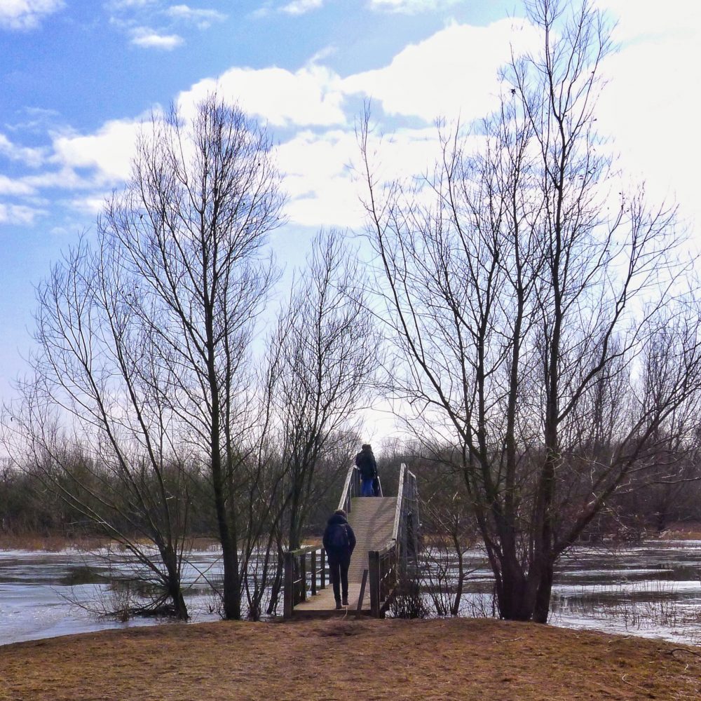
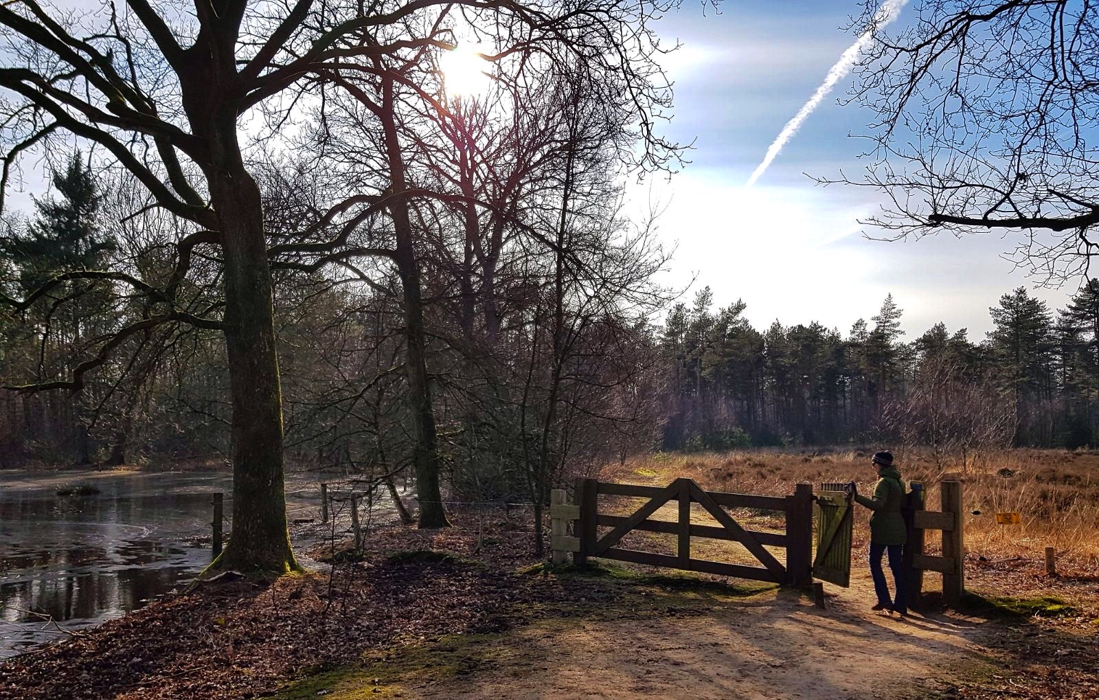
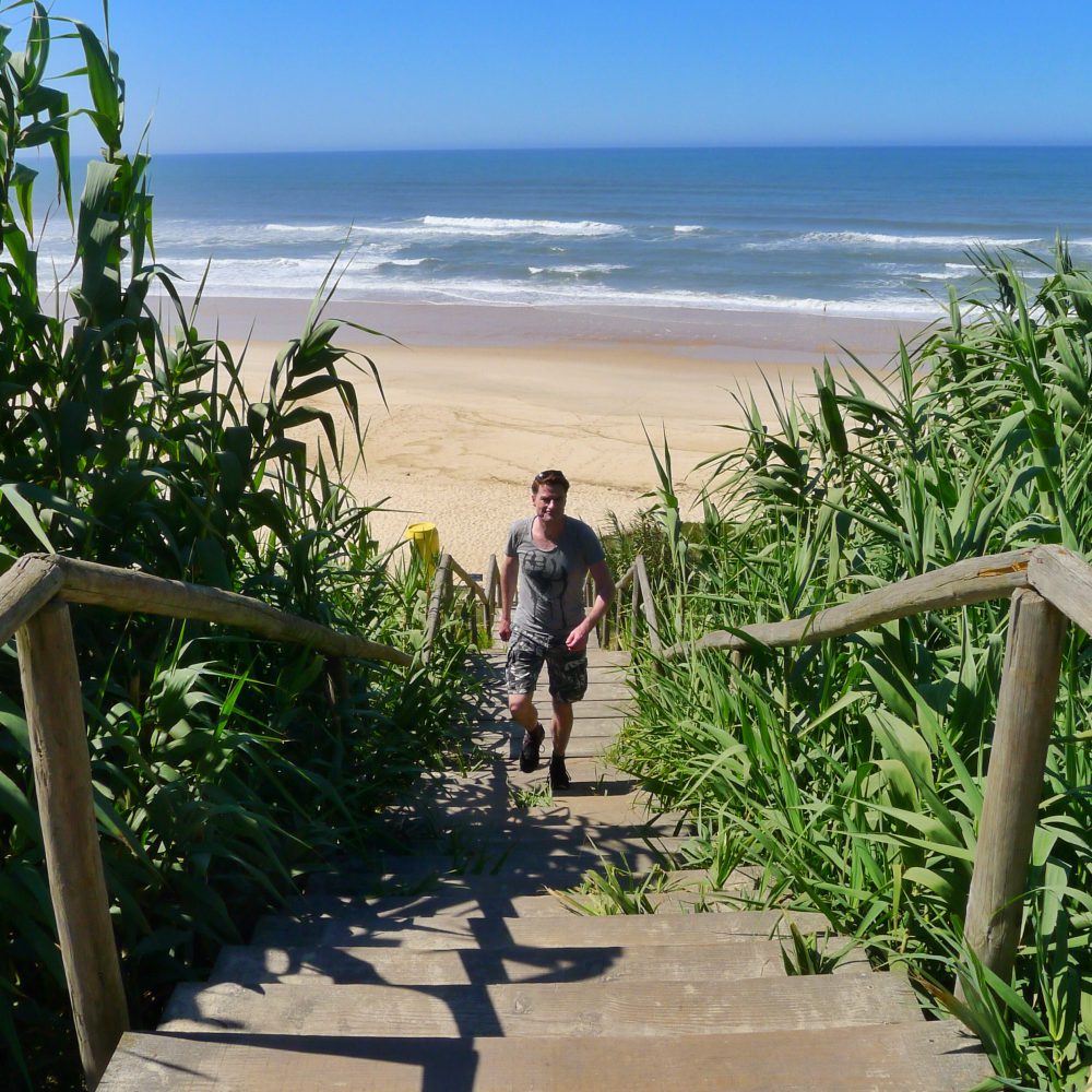
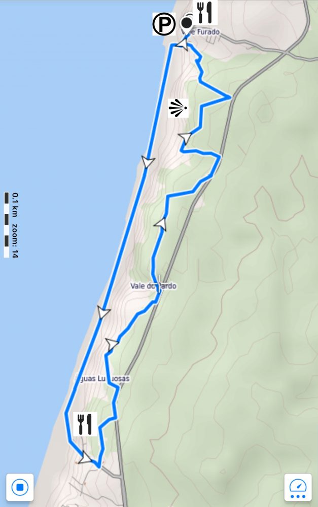
The start of the route is in Vale Furado where you can park your car at the parking place in front of Dona Praia Café. The hike starts by hiking down the R. Moinhos and via stairs you will reach the beach.
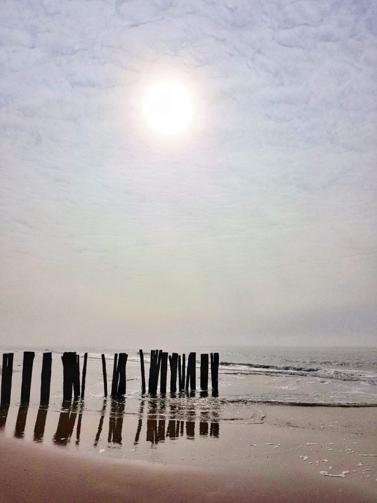
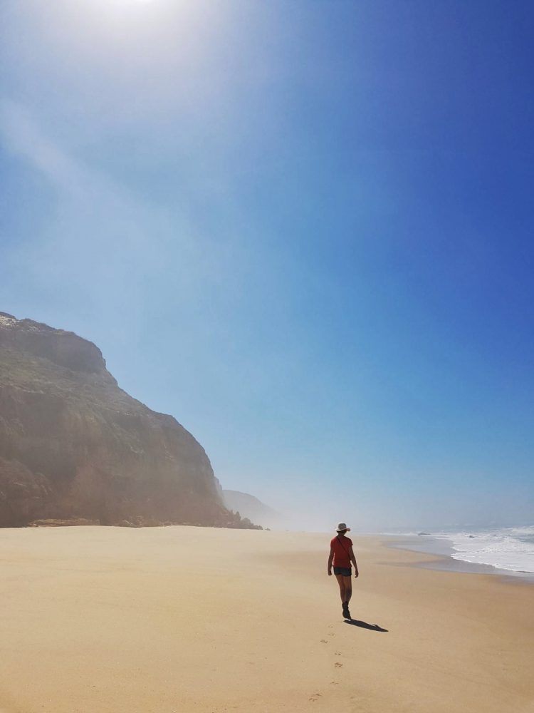
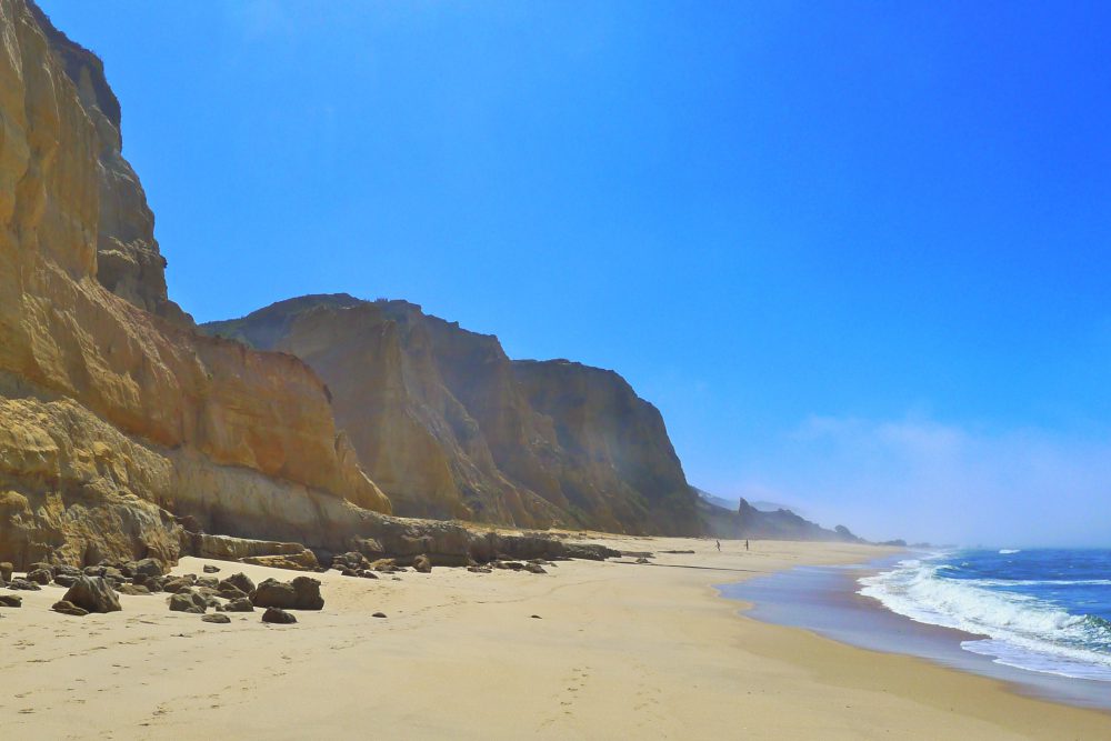
At the time we made our hike, the fog was just disappearing while the sun was getting through which gave the beach a sense of mystery.
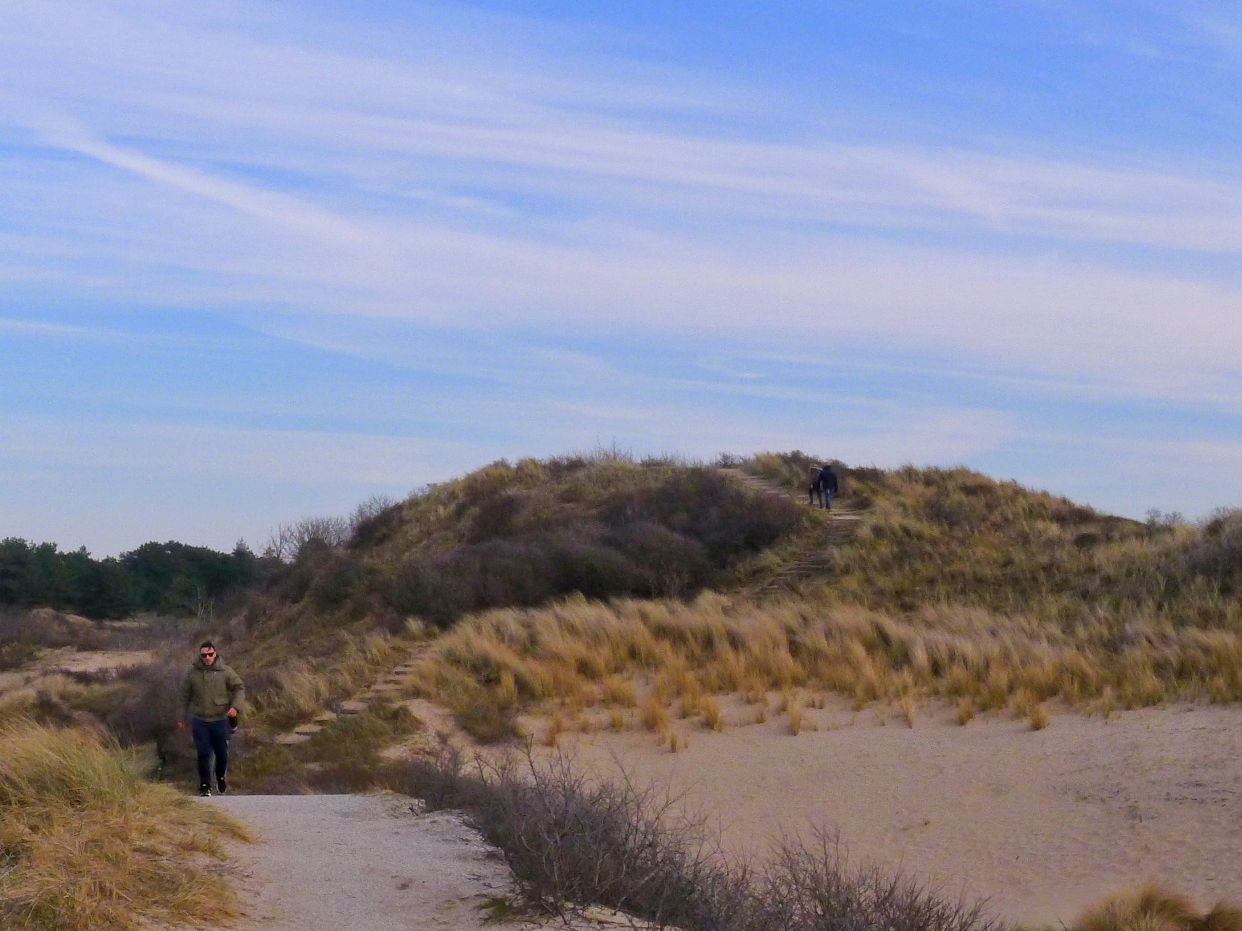
The hike continues for ~3,5 km on the beautiful beach with the steep cliffs next to it. Via stairs you then go up to the road into Légua. If you want to stop for a drink you just need to go slightly off track by taking the first turn left where you find a simple café, perfect for a drink or an icecream.
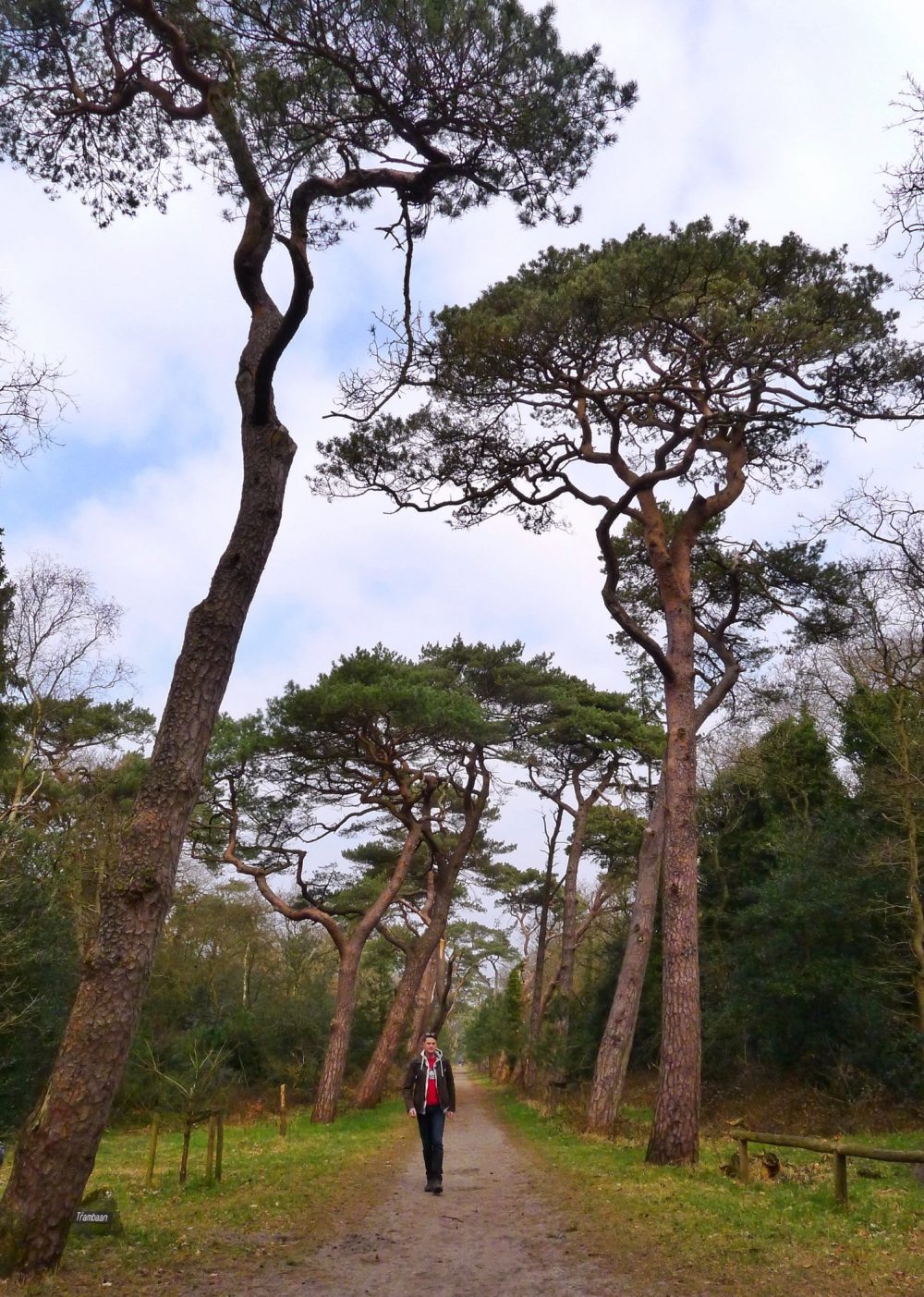
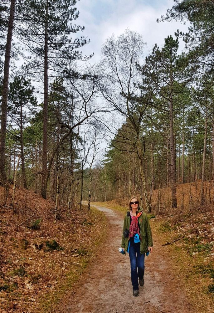
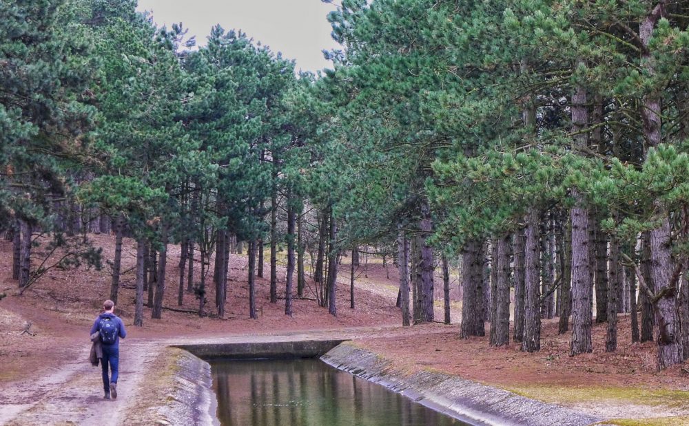
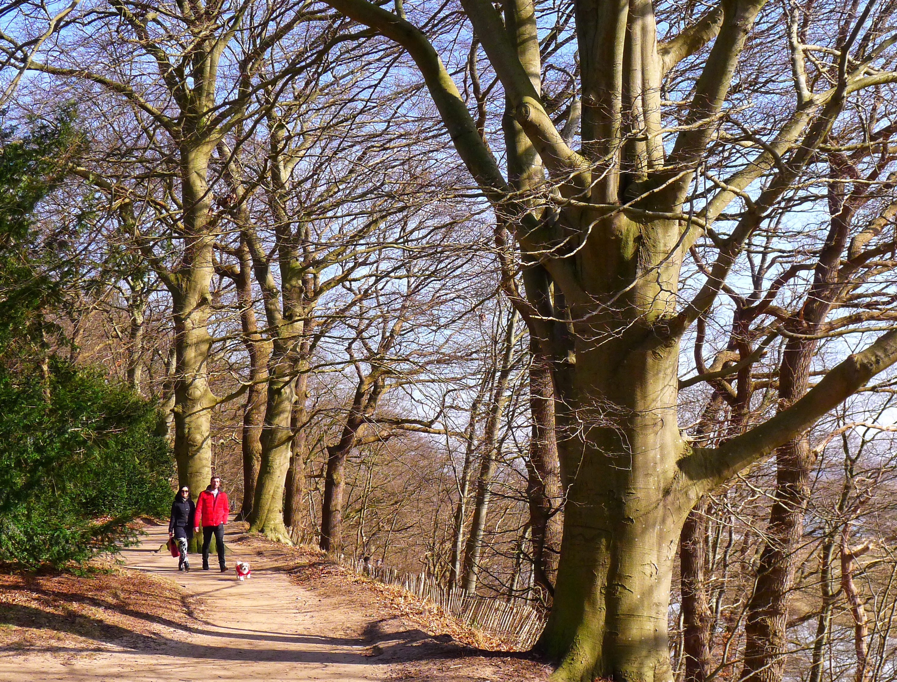
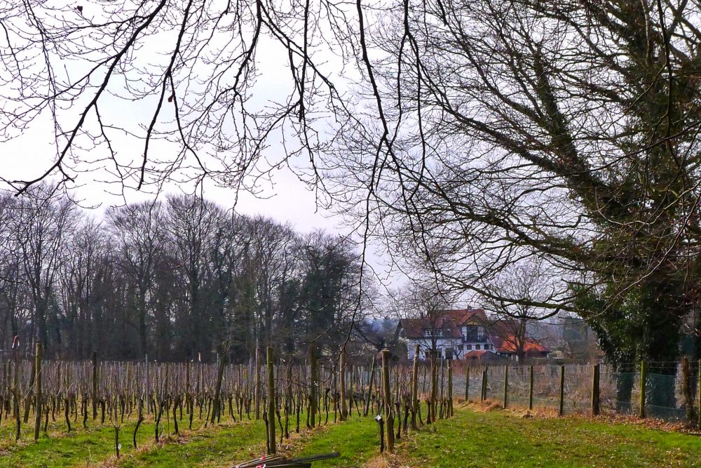
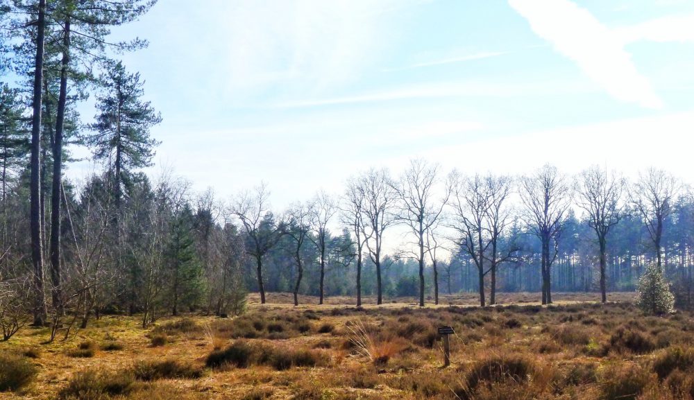
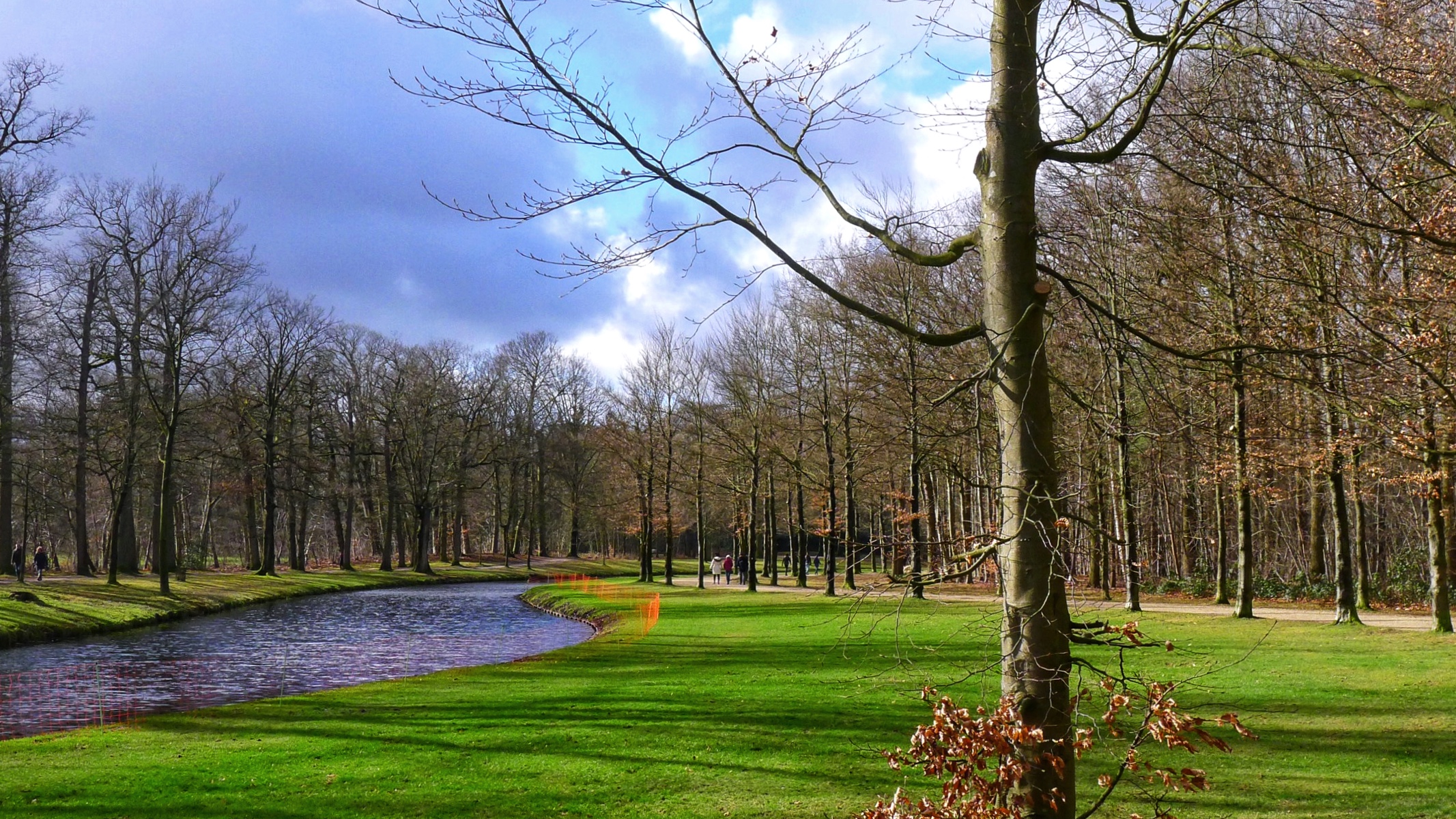
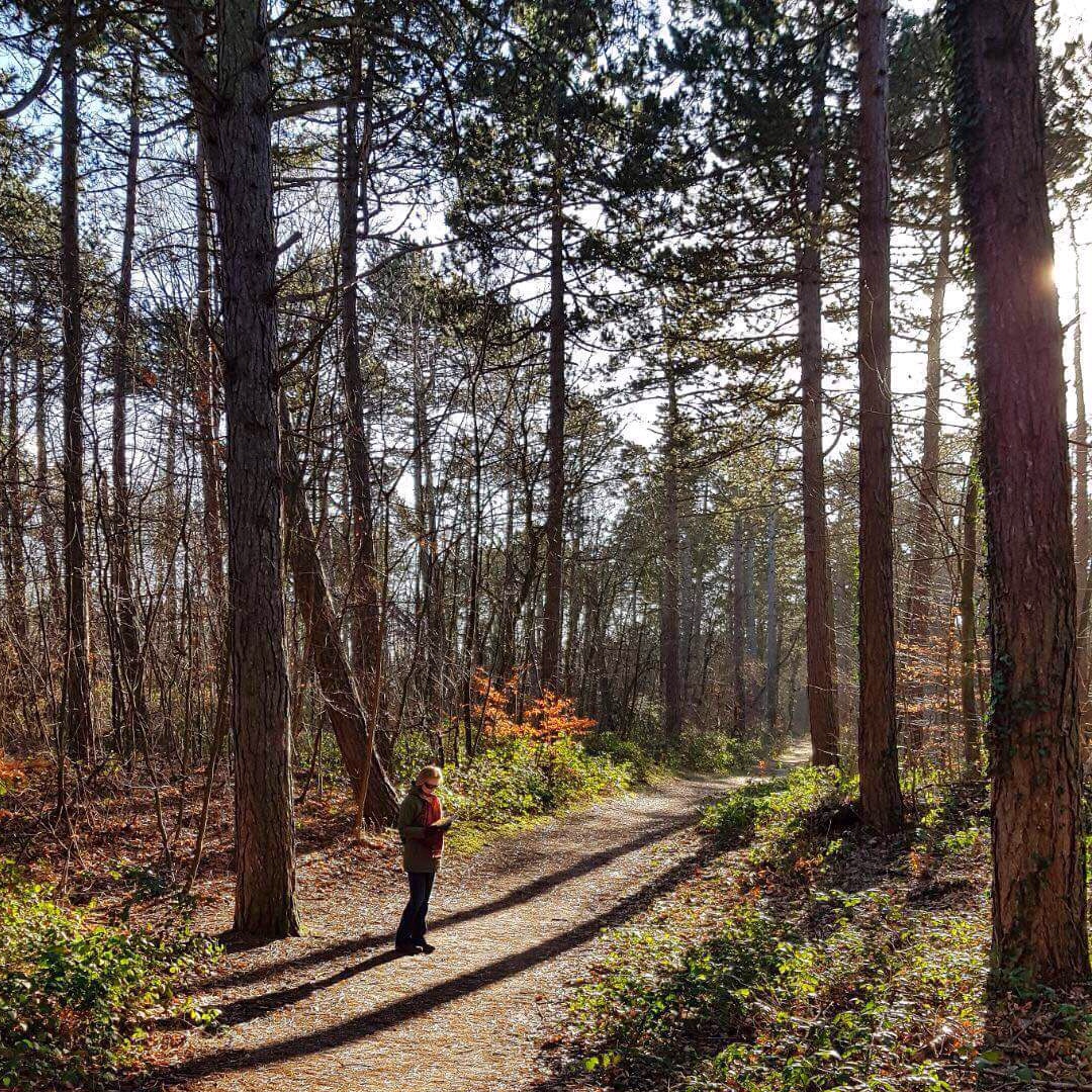
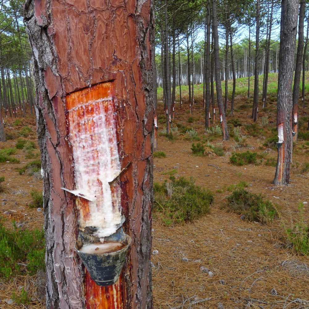
Further, back on the trail, you will leave Légua and enter a forest with pine trees. The resin is being captured of many of these trees in order to produce turpentine. Overall, this part of the hike is not the most interesting but is nice for adding variation to it.
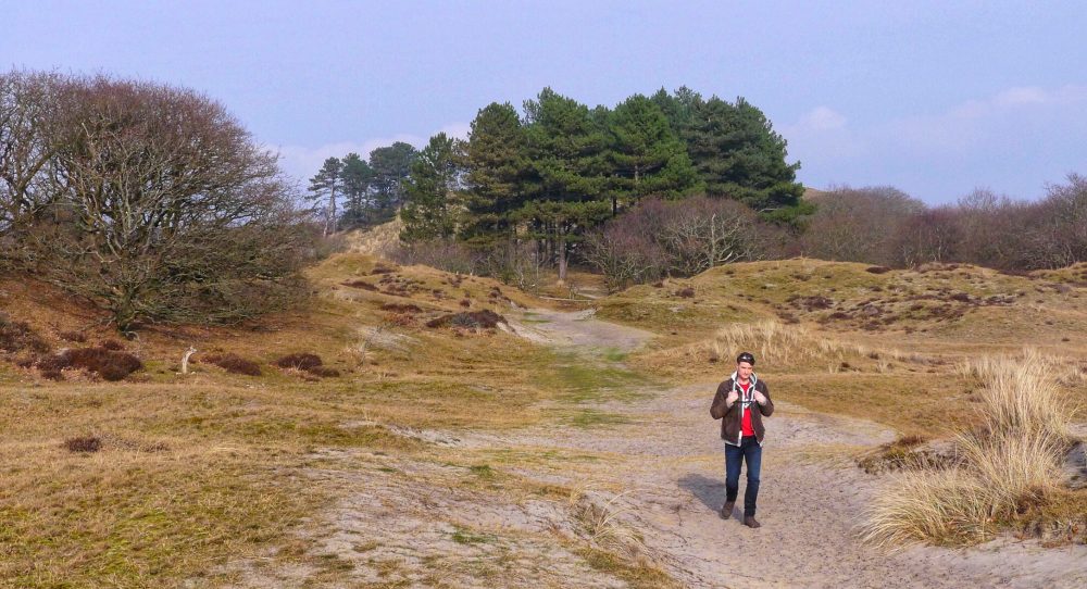
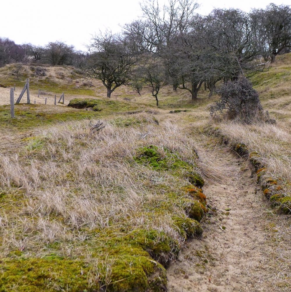
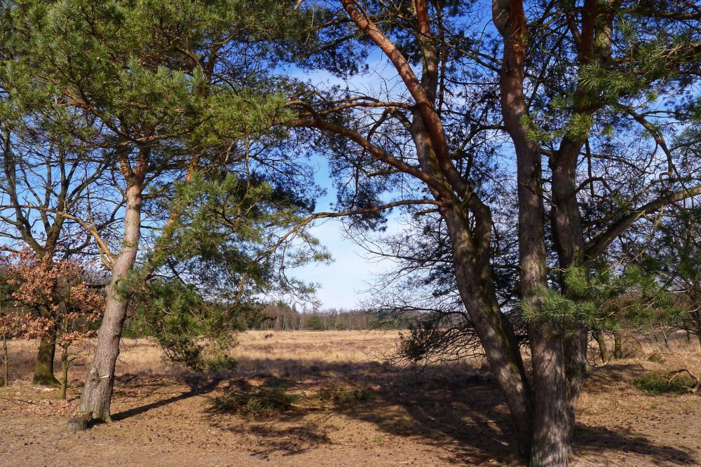
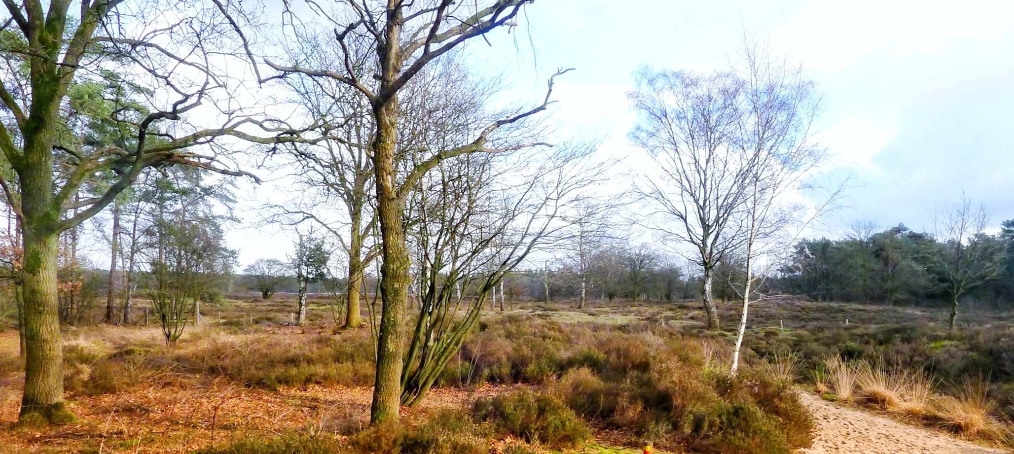
The route turns a couple of times towards the motorway and stays on it for a while but goes back into the forest again where the path becomes more and more loose sandy and with more lower vegetation instead of trees.
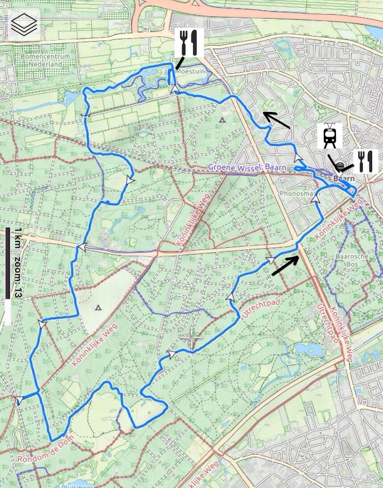
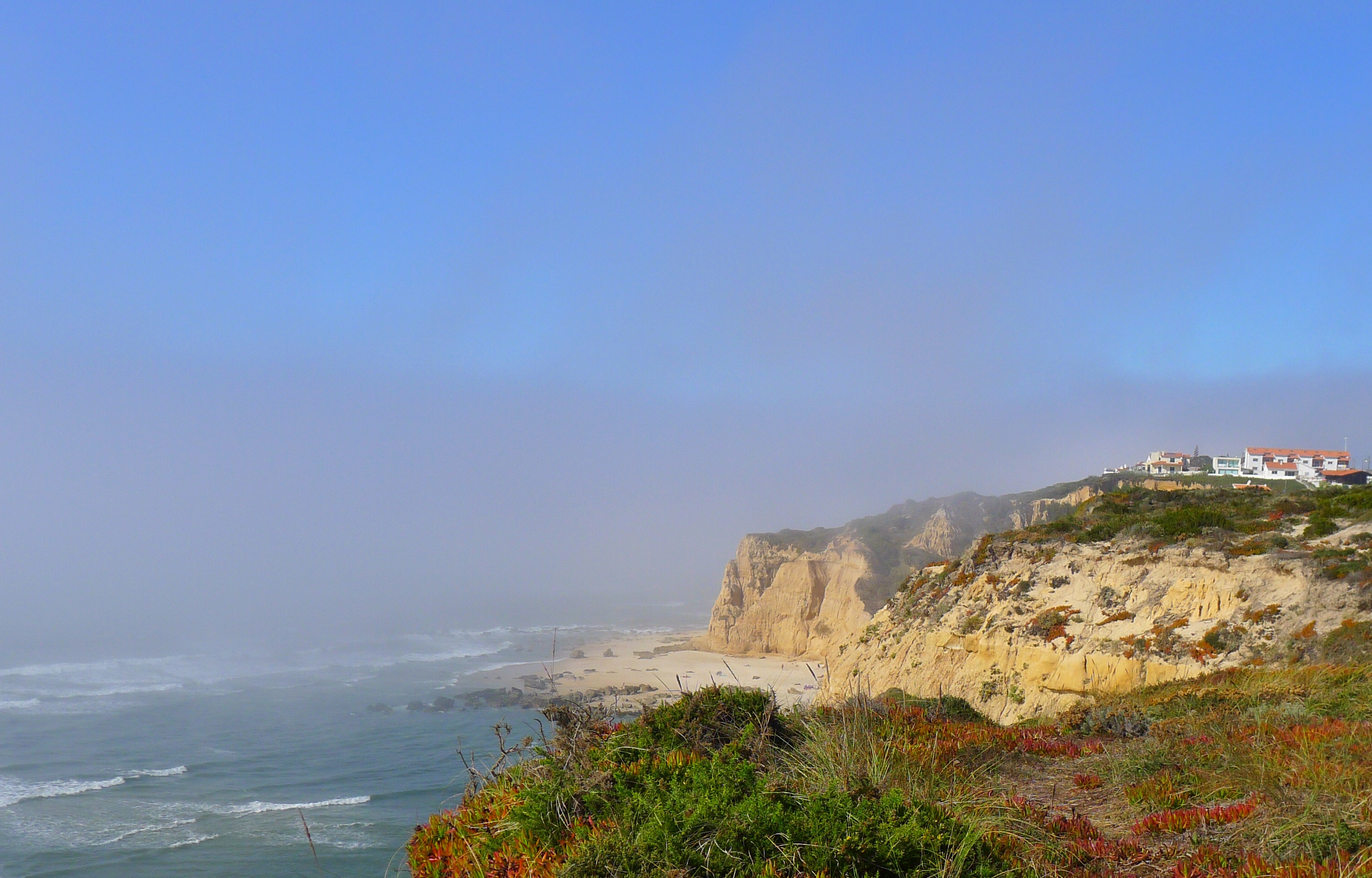
The last couple of kilometres we got slightly lost and could not find the intended trail anymore. In order to enjoy the great views from the cliffs we went on very small paths towards the cliff in the last 1,5 km before Vale Furado (which is not on the gpx track since it didnot follow a regular path).
Even if you get lost ~ 2 kms before Vale Furado, you will easily be able to get back to the starting point since there is more than 1 possible way to go. However, the gpx track further below may not be completely reliable for the last 2 kilometres but that shouldnot be a problem for you to get back to Vale Furado.
We had a drink in Dona Praia Café where you can sit on the terrace and enjoy taking a rest after a very nice hike.
General/details:
Tides: www.hidrografico.pt/previsao-mares.php -> Vale Furado is located between Peniche and Figuera da Foz. If you decide to take the same route back via the beach you will need to take into account ~1,5-2 hours for the total hike.
Start and Finish: Parking lot just below Dona Praia Café in Vale Furado, on R. Do Vale Furado
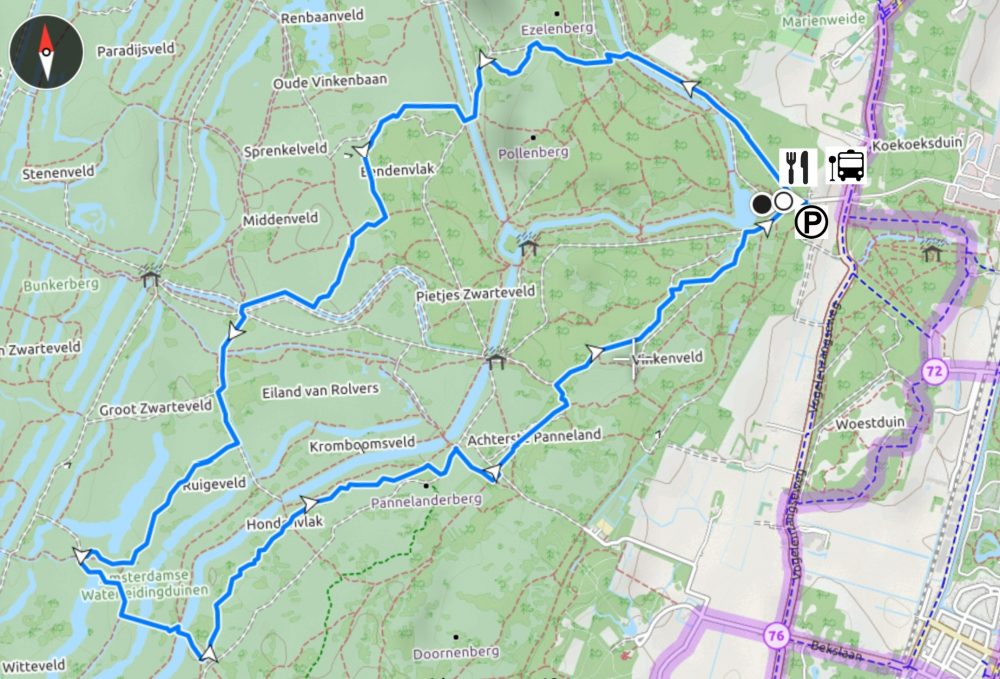
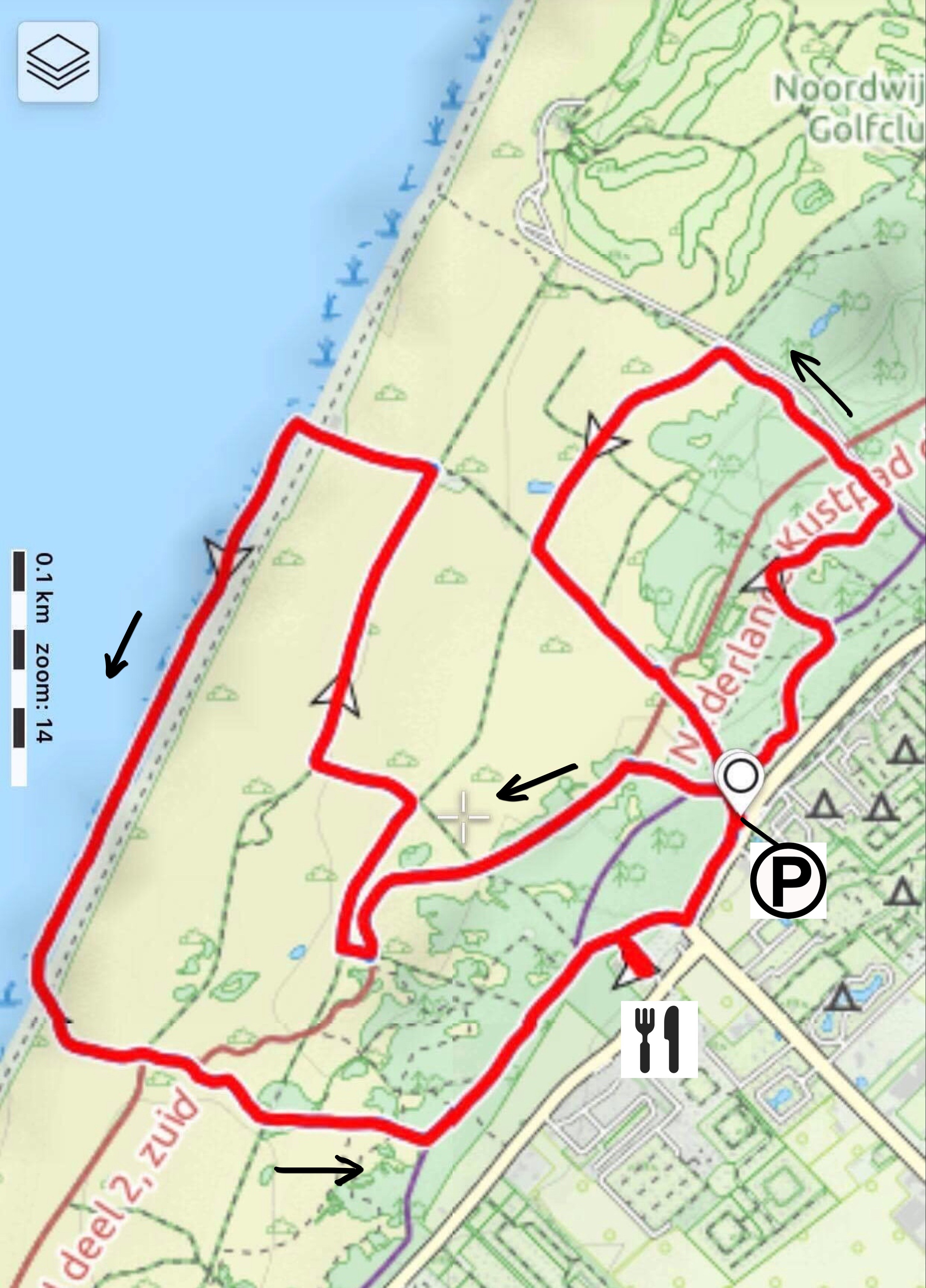
Type: circular route
Length: 9 km
Difficulty: easy, however, the loose sand makes the trail rather strenuous.
Terrain: mostly (loose) sandpath, height difference ~130 meter.
How to get there? By car: you can park your car on the parking lot just below Dona Praia Café in Vale Furado, on R. Do Vale Furado. Public transport: not recommended, nothing gets close to either Vale Furado or Légua.
Restaurants underway? Yes, at the starting/finish point (Dona Praia Café in Vale Furado) and halfway (Café Ti Abílio Lda in Legua).
Origin of the route: nr12 from the book “Hart van Portugal,
25 wandelingen door Lissabon en de Estremadura, Coimbra en Beira”. www.wandeleninportugal.info