City hike with parks and forest, february 2018

Summary
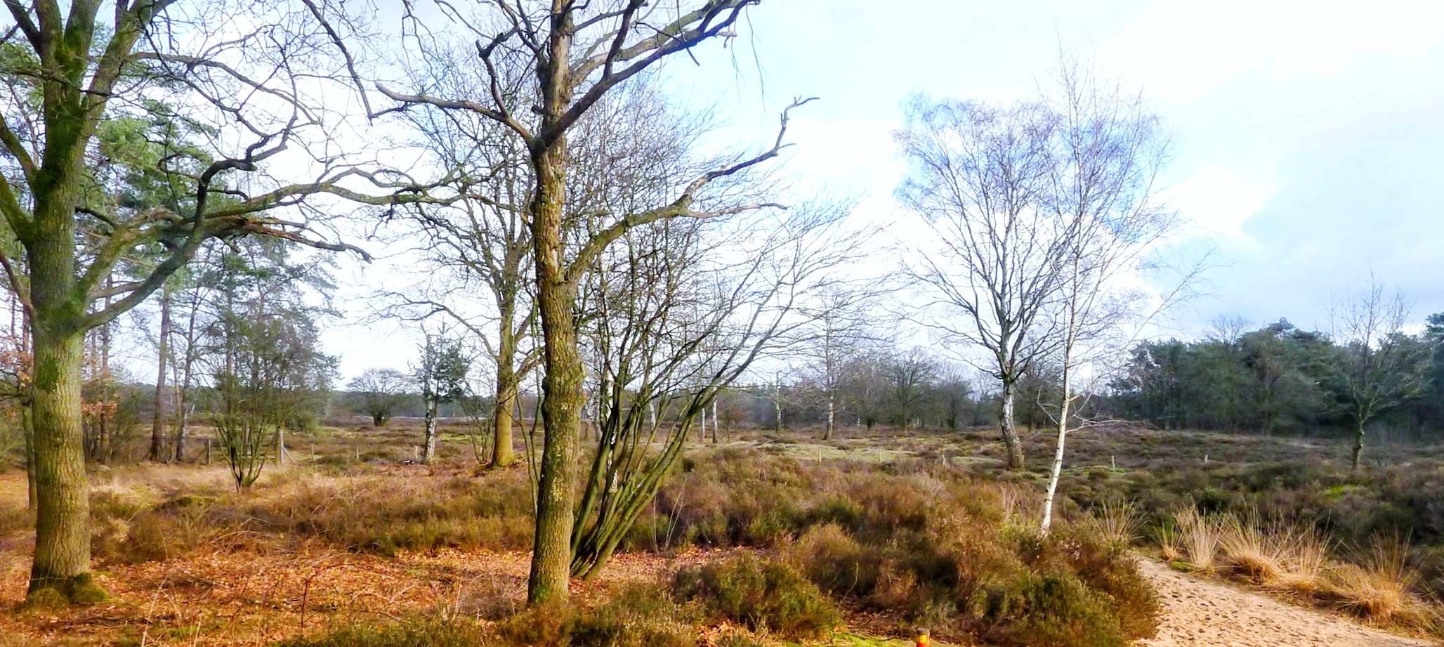
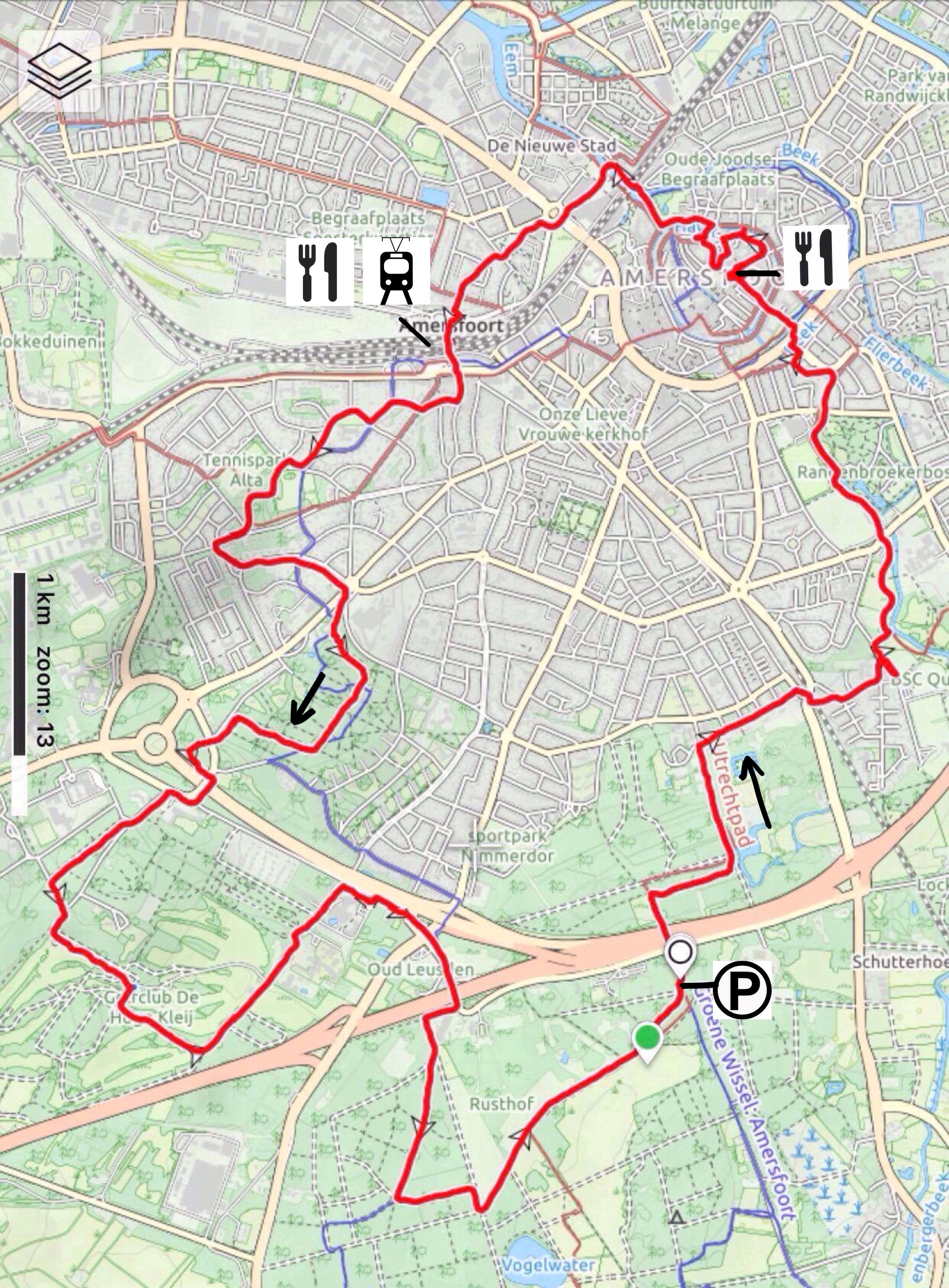
This hike combines a tour through the historical town Amersfoort with parks and forest. It is more a tour through town (almost 70%) combined with a piece of forest (30%). Amersfoort has a beautiful historical centre, parks and neighbourhoods with well designed villas, however a part of the tour through town I found less interesting. The piece of forest that is included is nice but not extremely beautiful. The hike can be combined with a tour on the Onze Lieve Vrouwe Tower, the Koppelpoort or Kamp Amersfoort (see details further below). Overall a hike with some nice features but also with less interesting parts.
Description trail
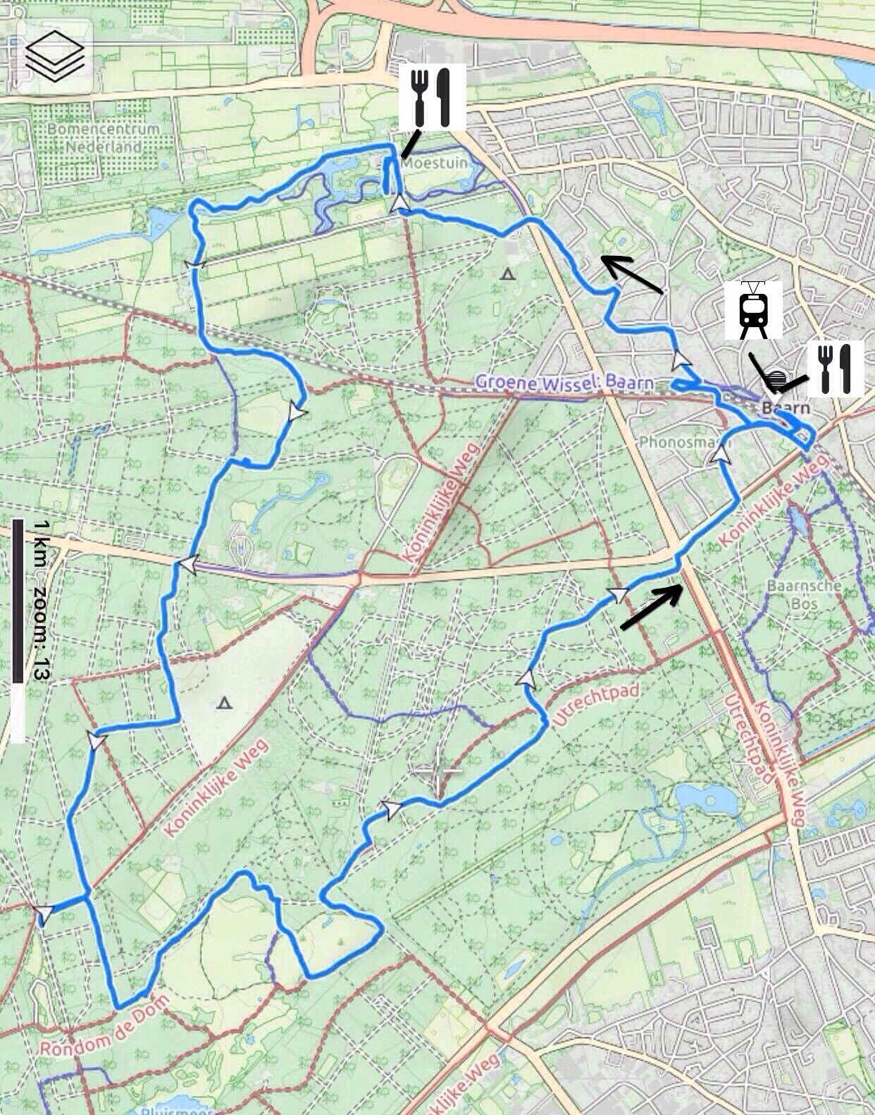
This hike follows the route nr 5 from the book “Wandelen over de Utrechtse Heuvelrug” by Rob Wolfs and Ad Snelderwaard. The hike starts at the parking place just outside of Amersfoort (in case you use public transport, you can start the hike at the Amersfoort railway station).
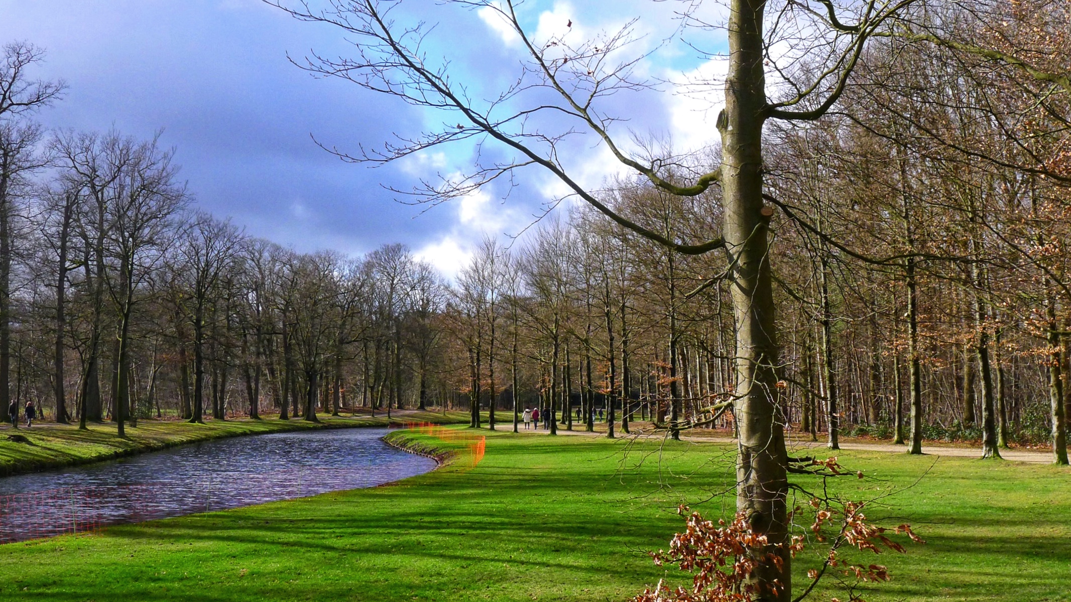
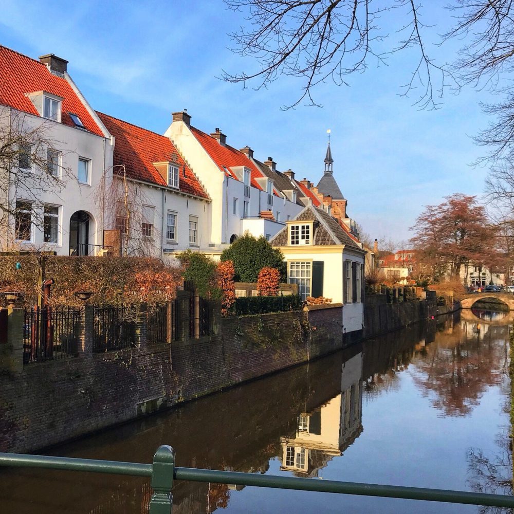
The first part begins in the forest and, via a neighbourhood of Amersfoort, turns into a chain of a couple of city parks. Especially the park Randenbroek we found very beautiful.
A little bit later, you enter the old city center. Amersfoort is an old town that existed already in the middle ages. Its historical centre has been well preserved and is worth visiting. Some of the portals and walls of the old town still exist. There are lots of terraces and restaurants which make a perfect break after 1 hour of hiking. We had our lunch in “In den Kleinen Hap”, a nice old cosy place.
A possible additional activity is to climb the Onze Lieve Vrouwe tower of almost 100 meters high. It dates from the 15th century and provides good views over Amersfoort. It is sligthly off trail but close to it in the old centre, see further below for details.
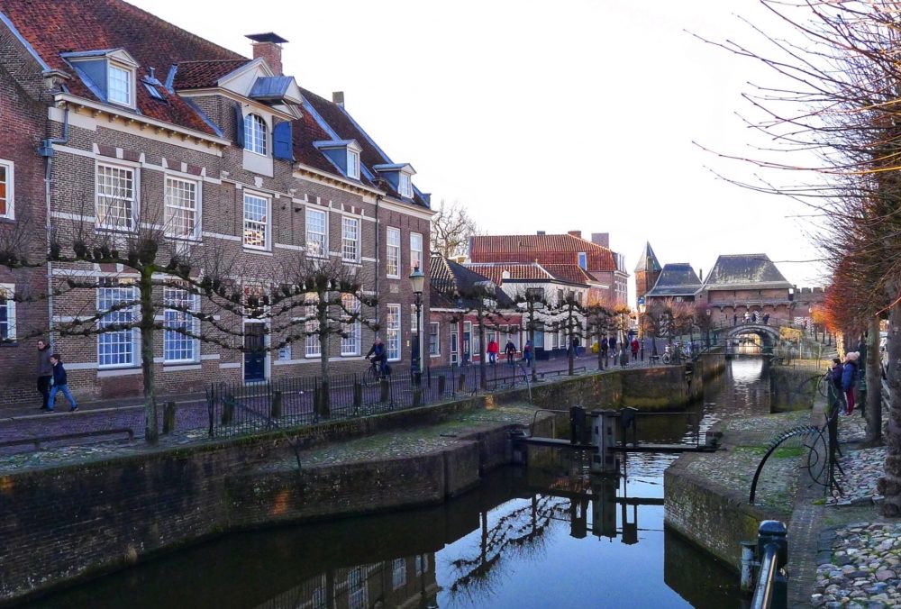
The trail continues through the old city center, along the church and the market place and exits the historical center via the Koppelpoort, which dates from the 15th century. It can be visited upon request (for details see further below).
The route then continues via the Eemplein, a new shopping and entertainment centre, and a couple of neighborhoods. This part of the trail was actually less interesting.
We crossed the railway via the central railway station (for which you need to bring your ov chipcard, otherwise you cannot go through the fences). The neighbourhoods that follow are with nice big villas, some old and some recently built, mostly with beautiful architectural features.
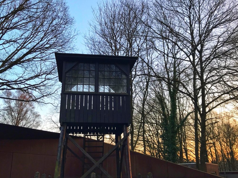
Later on, the hike continues via parks and a golf resort. After a while you pass Kamp Amersfoort, a transit camp by the nazis during the second world war. The watchtower is one of the few remains of it. The kamp can be visited and each sunday there is a guided tour (see “general details” for a link).
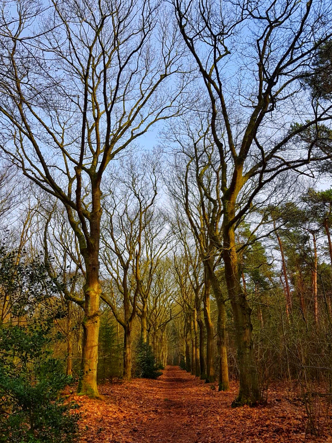
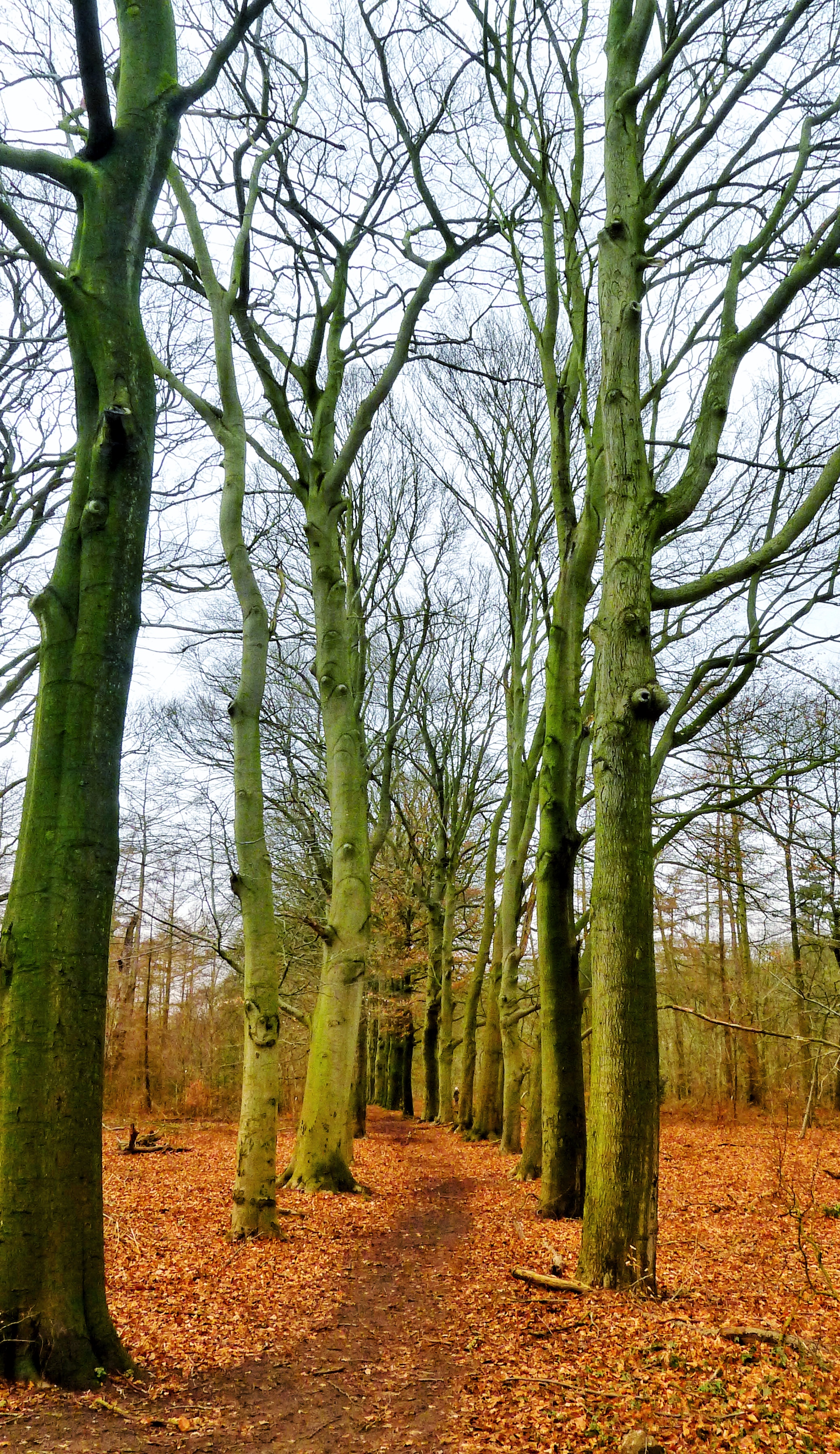
The hike continues over the highway into the forest. After a while, the trail ends on the parking space at the beginning of our trail.
General/details:
Start and Finish: Parking lot or central railway station Amersfoort
Type: circular route
Length: 18 km
Difficulty: easy
Terrain: mostly asphalt and forest path, flat with ~40 meters difference in height on the overall route.
How to get there? By car: you can easily park for free at the parking lot. Don’t forget to bring your ov chipcard which you need in order to cross the railway via the central railway station in Amersfoort. Public transport: You can also get there by train (the route will then have another starting point)
Restaurants underway? Yes, lots of restaurants in the historical centre, further, a couple of restaurants spread over the route.
Additional activities underway:
– Onze Lieve Vrouwe Tower: guided tours every day. www.gildeamersfoort.nl/torenbeklimmingen/
– Koppelpoort: guided tours of ~30 minutes upon request. www.gildeamersfoort.nl/rondleidingen/de-koppelpoort/
– Kamp Amersfoort: For info, general opening times and fees see www.kampamersfoort.nl